|
|

|
Day 8, Sunday 25 November
Gambling……..As I look towards the start of a second week on tour, I can also look forward to exploring a different province having spent the entire first week in Nakhon Ratchasima province. Referring to my initial list for Buriram province, it looks a bit sparce. Is there just not too much here or have I failed in my diligence? With my blog not taking too long to complete, I can concentrate on breakfast and that American version I ordered. At 9.30am I’m still hoping for a reasonable start but as I wait for that breakfast, I’m beginning to wonder whether they’re bringing it from the USA. 10.30am now doesn’t seem reasonable to me and then I have a sudden rush of blood to my head. Instead of taking a leisurely tour around the city, I instinctively feel I should head south where there are a number of important attractions. As I check the distances involved, given that I’ve lost time already, the journey looks ambitious. Ordinarily I would not cover this distance as a day trip but for some reason I decide to go for it and take the gamble. I should arrive at the initial destination at about 1.30pm.
Stopovers……..With Katoon doing much of the driving at the moment, that leaves me free to continue with my searches. It’s clear that I’m relying heavily on Google Map and GPS navigation. Having set my initial destination, the system allows me to set stopovers, advising on nearby sites. If this works I can add to my visit list as I go along. The first opportunity I get to try it out occurs at the halfway point.
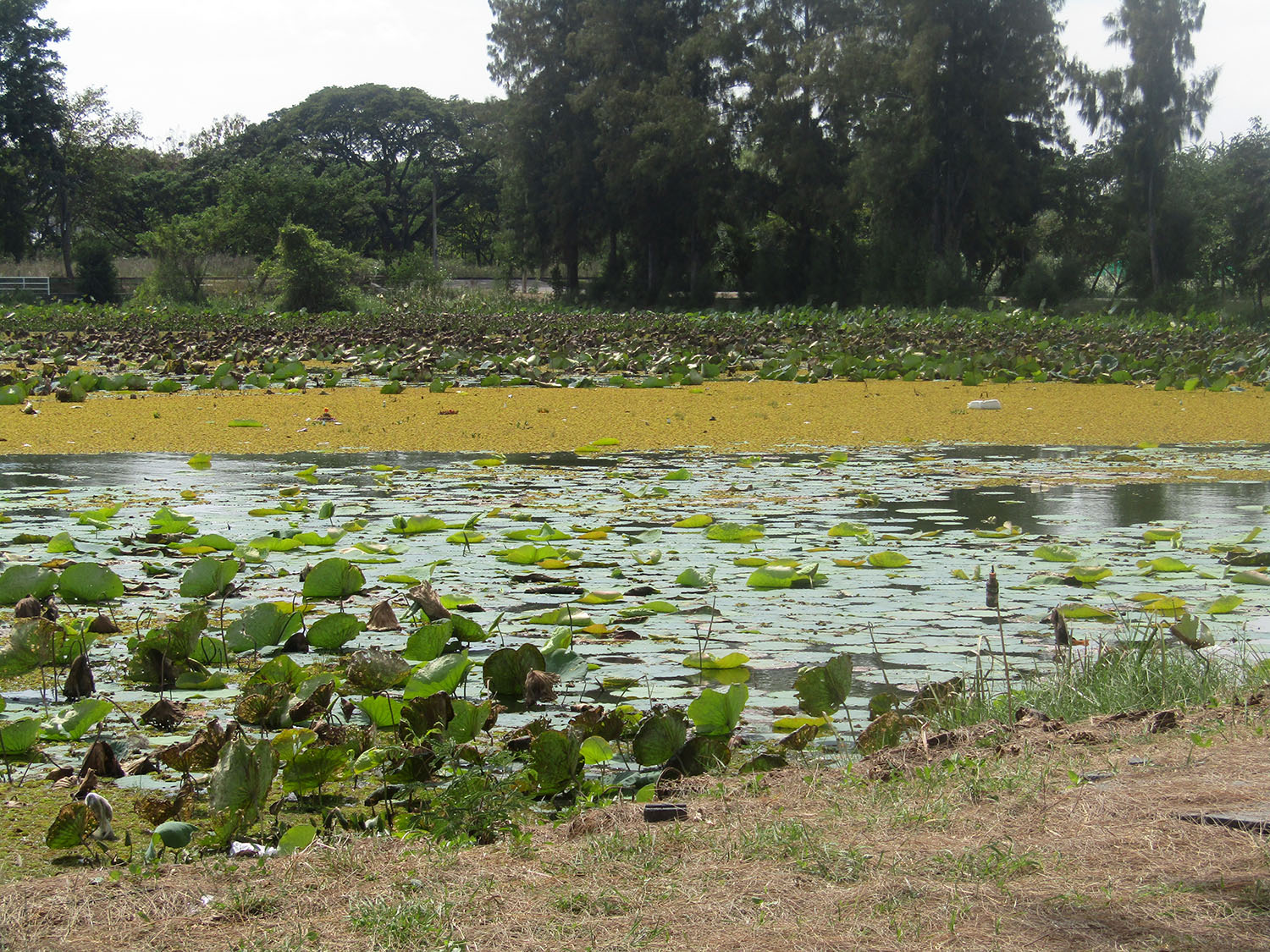
Nong Dta Mu……..Arriving at Nong Dta Mu, it’s pleasant enough, a recreation area beside a small lake with partial lotus leaf covering. If I want to put up a hammock between trees lining the lake and chill out then it’s perfect. Otherwise what am I doing here? Ok I’ve proved the system works but I must learn to be selective if I plan to be opportunistic.
Gambling……..As I look towards the start of a second week on tour, I can also look forward to exploring a different province having spent the entire first week in Nakhon Ratchasima province. Referring to my initial list for Buriram province, it looks a bit sparce. Is there just not too much here or have I failed in my diligence? With my blog not taking too long to complete, I can concentrate on breakfast and that American version I ordered. At 9.30am I’m still hoping for a reasonable start but as I wait for that breakfast, I’m beginning to wonder whether they’re bringing it from the USA. 10.30am now doesn’t seem reasonable to me and then I have a sudden rush of blood to my head. Instead of taking a leisurely tour around the city, I instinctively feel I should head south where there are a number of important attractions. As I check the distances involved, given that I’ve lost time already, the journey looks ambitious. Ordinarily I would not cover this distance as a day trip but for some reason I decide to go for it and take the gamble. I should arrive at the initial destination at about 1.30pm.
Stopovers……..With Katoon doing much of the driving at the moment, that leaves me free to continue with my searches. It’s clear that I’m relying heavily on Google Map and GPS navigation. Having set my initial destination, the system allows me to set stopovers, advising on nearby sites. If this works I can add to my visit list as I go along. The first opportunity I get to try it out occurs at the halfway point.
Nong Dta Mu……..Arriving at Nong Dta Mu, it’s pleasant enough, a recreation area beside a small lake with partial lotus leaf covering. If I want to put up a hammock between trees lining the lake and chill out then it’s perfect. Otherwise what am I doing here? Ok I’ve proved the system works but I must learn to be selective if I plan to be opportunistic.
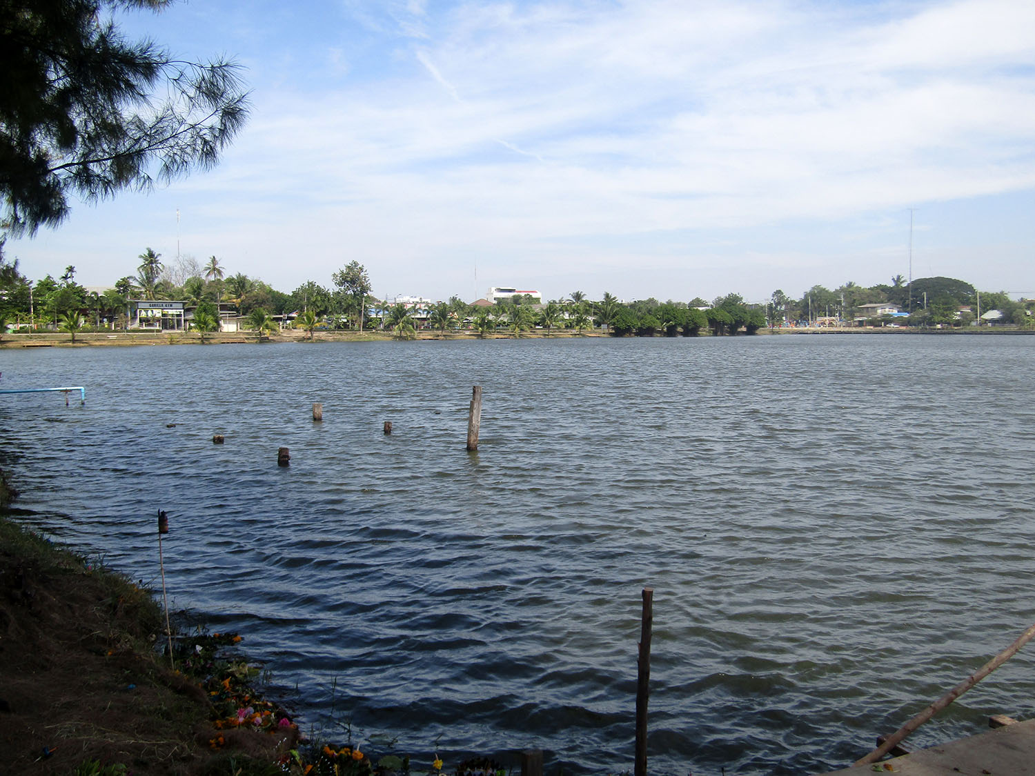
 Nong Dta Mu, Nang Rong District, Buriram Province
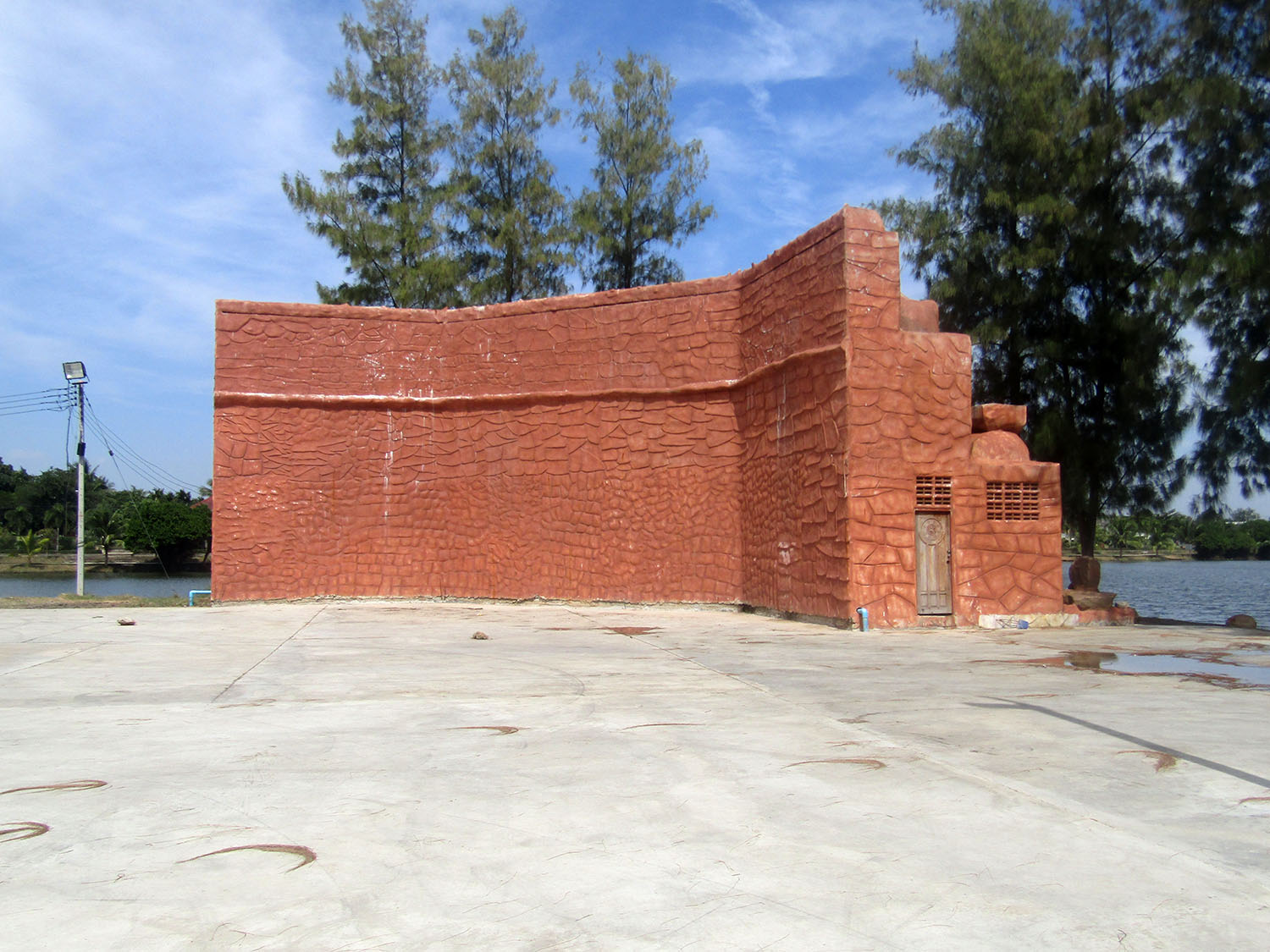
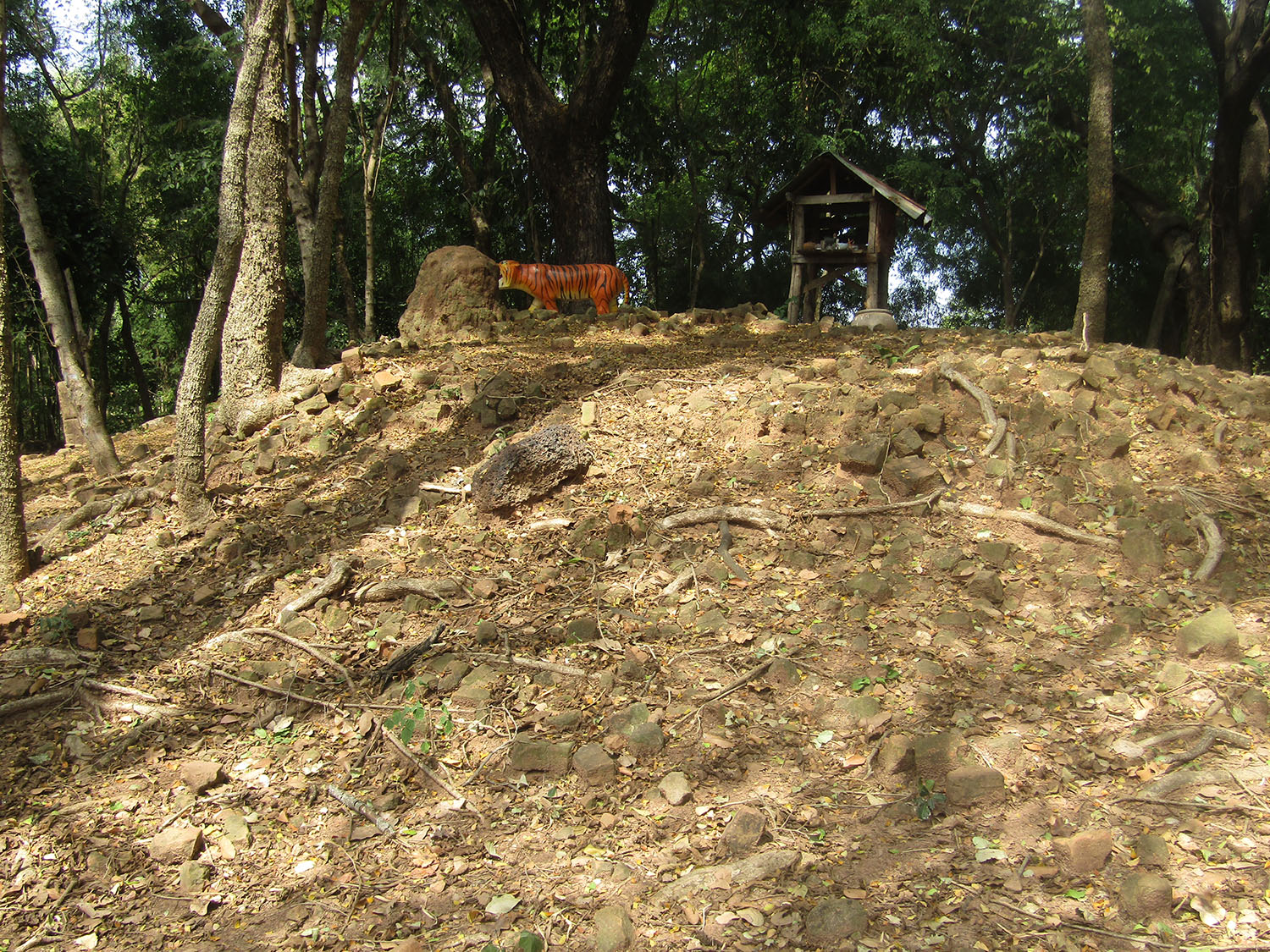
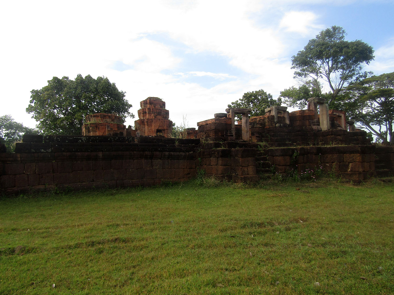
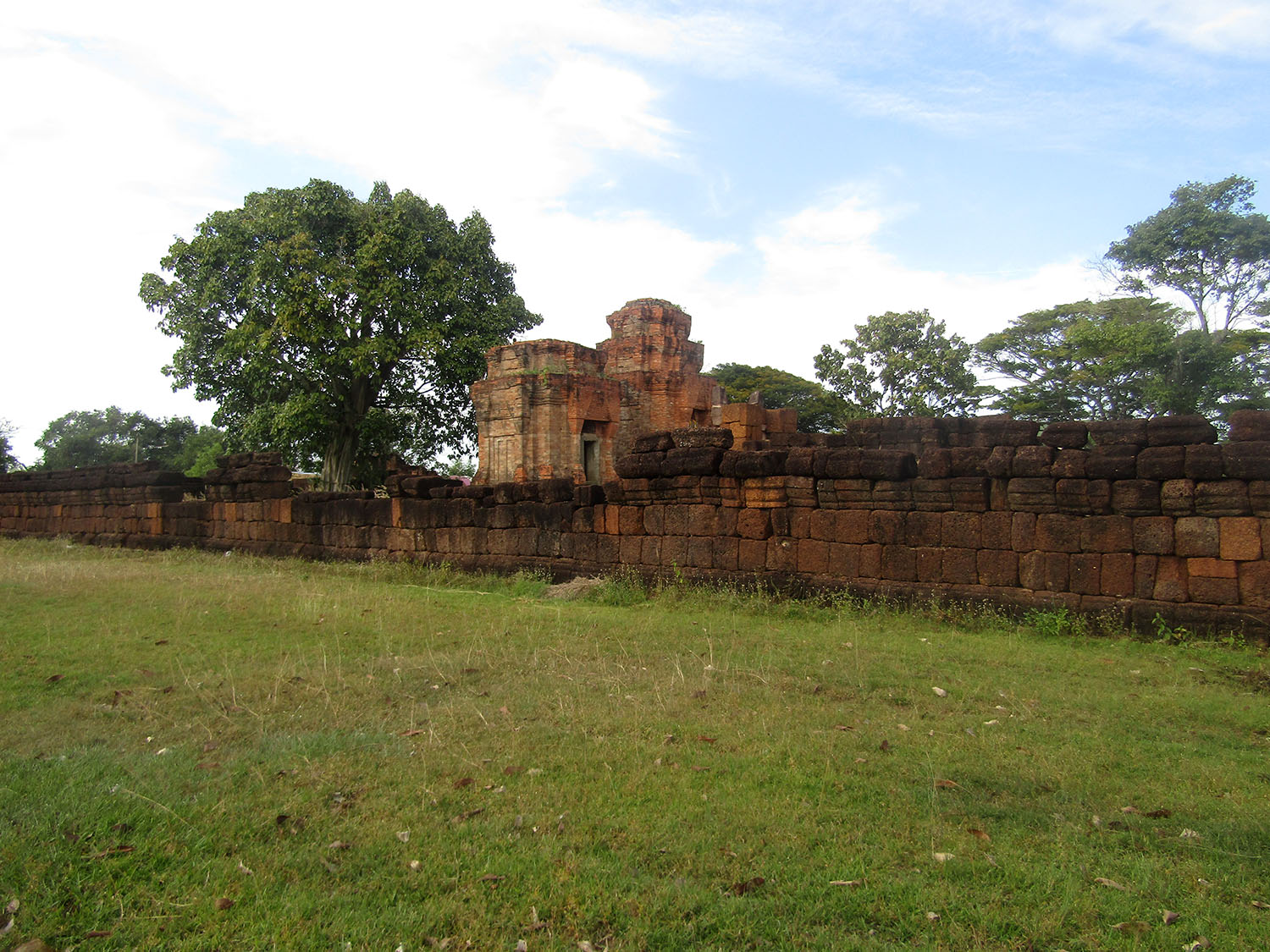
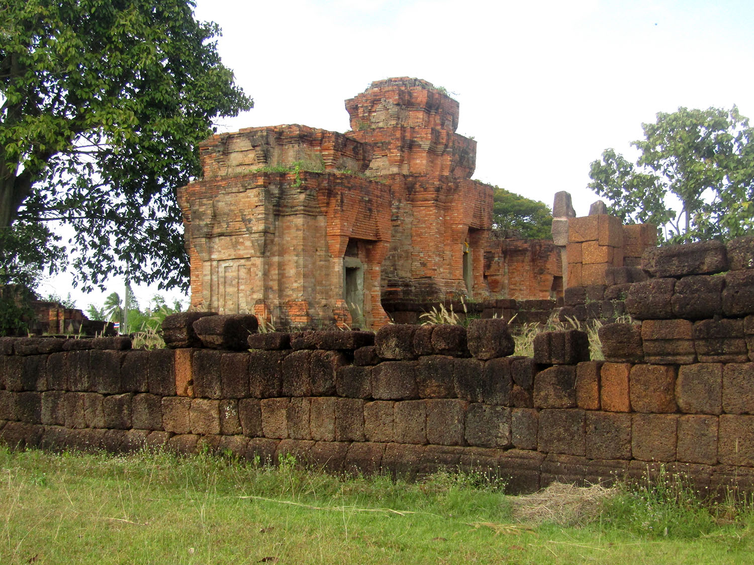
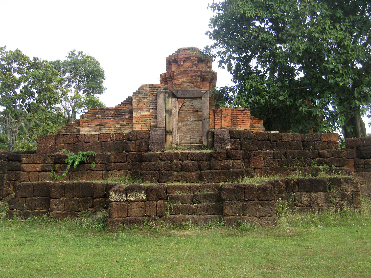
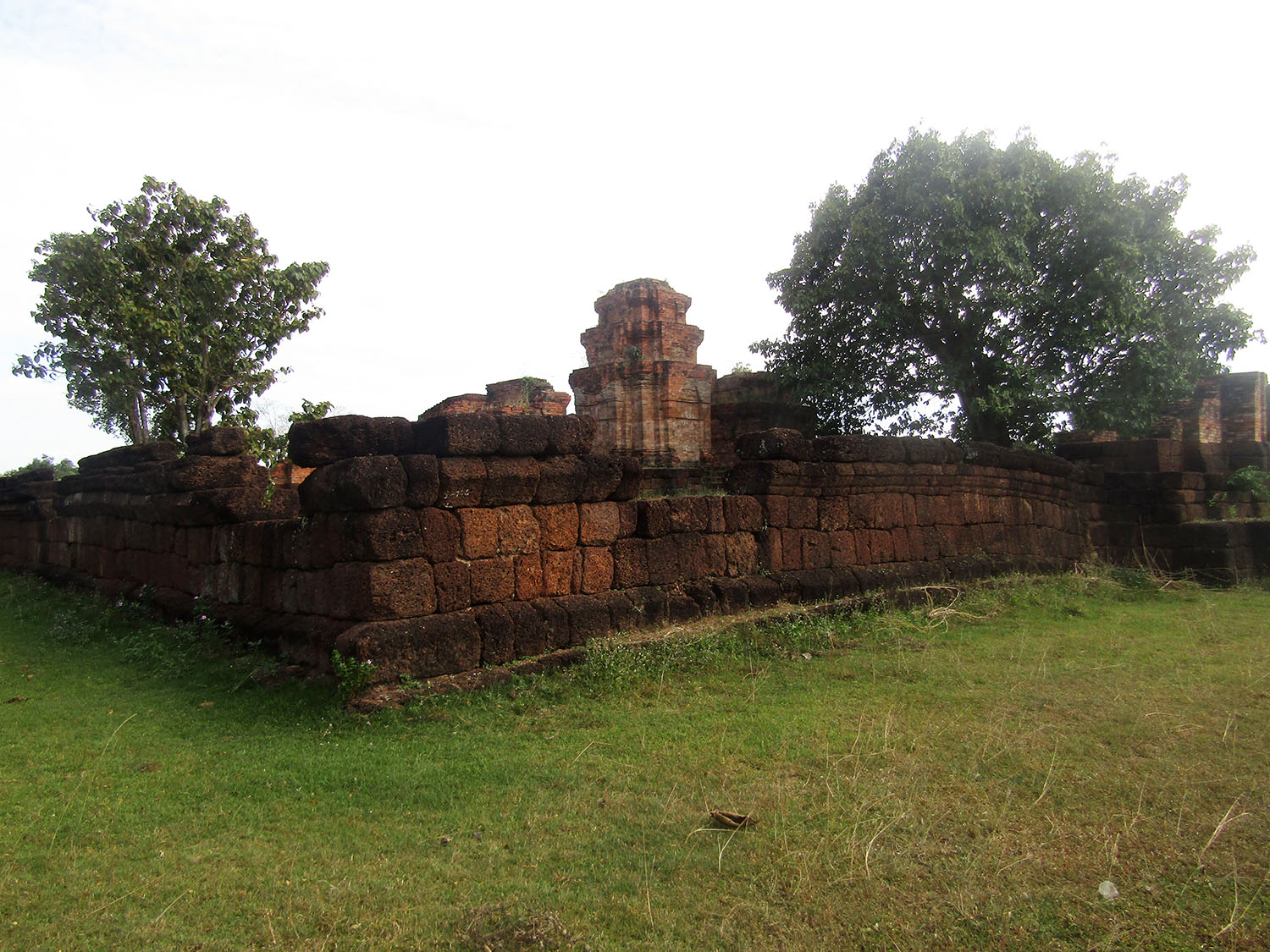
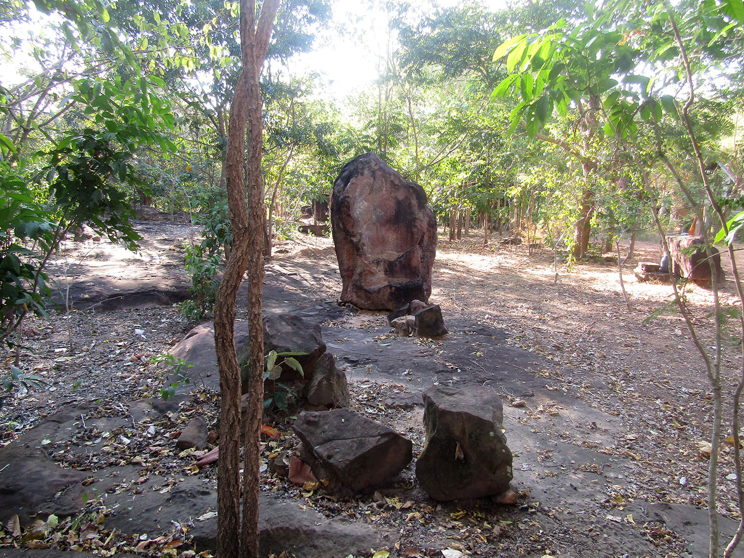
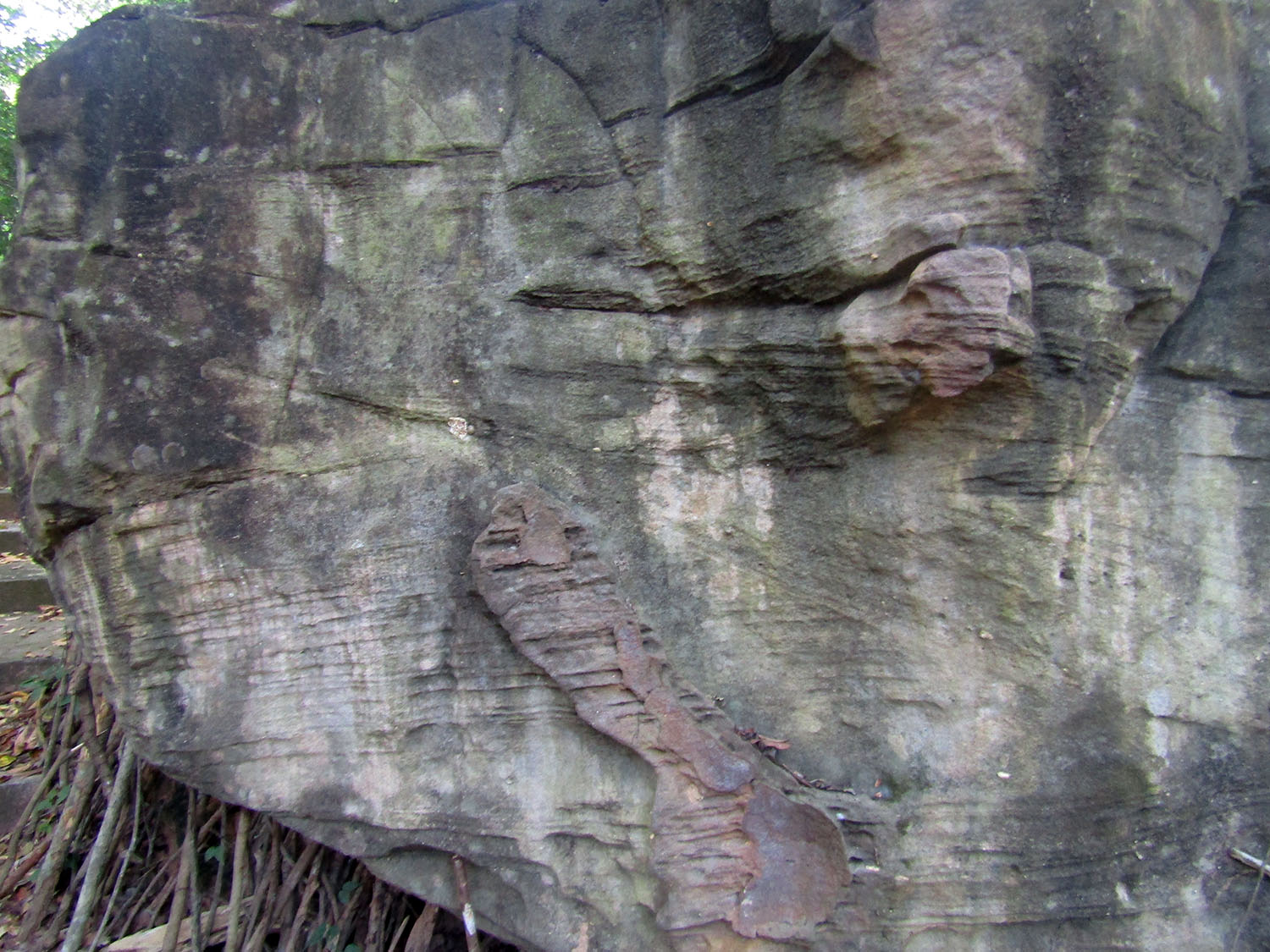
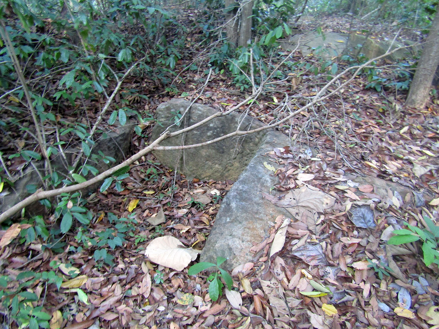
Prasat Ban Hua Thanon……..The system now pulls up Prasat Ban Hua Thanon which look more promising but involves a deviation of 30 minutes. I just hope it’s worth it but having visited most of the prestigious sites in the region, I don’t care if it’s just a pile of stones provided it has historical and archaeological significance. Unfortunately Prasat Ban Hua Thanon is a small isolated ruin dating back to the 11th/12th Century consisting of a principal tower on a laterite base surrounded by a moat; in other words, a pile of old stones: not much to go on really.
 Prasat Ban Hua Thanon, Nang Rong District, Buriram Province
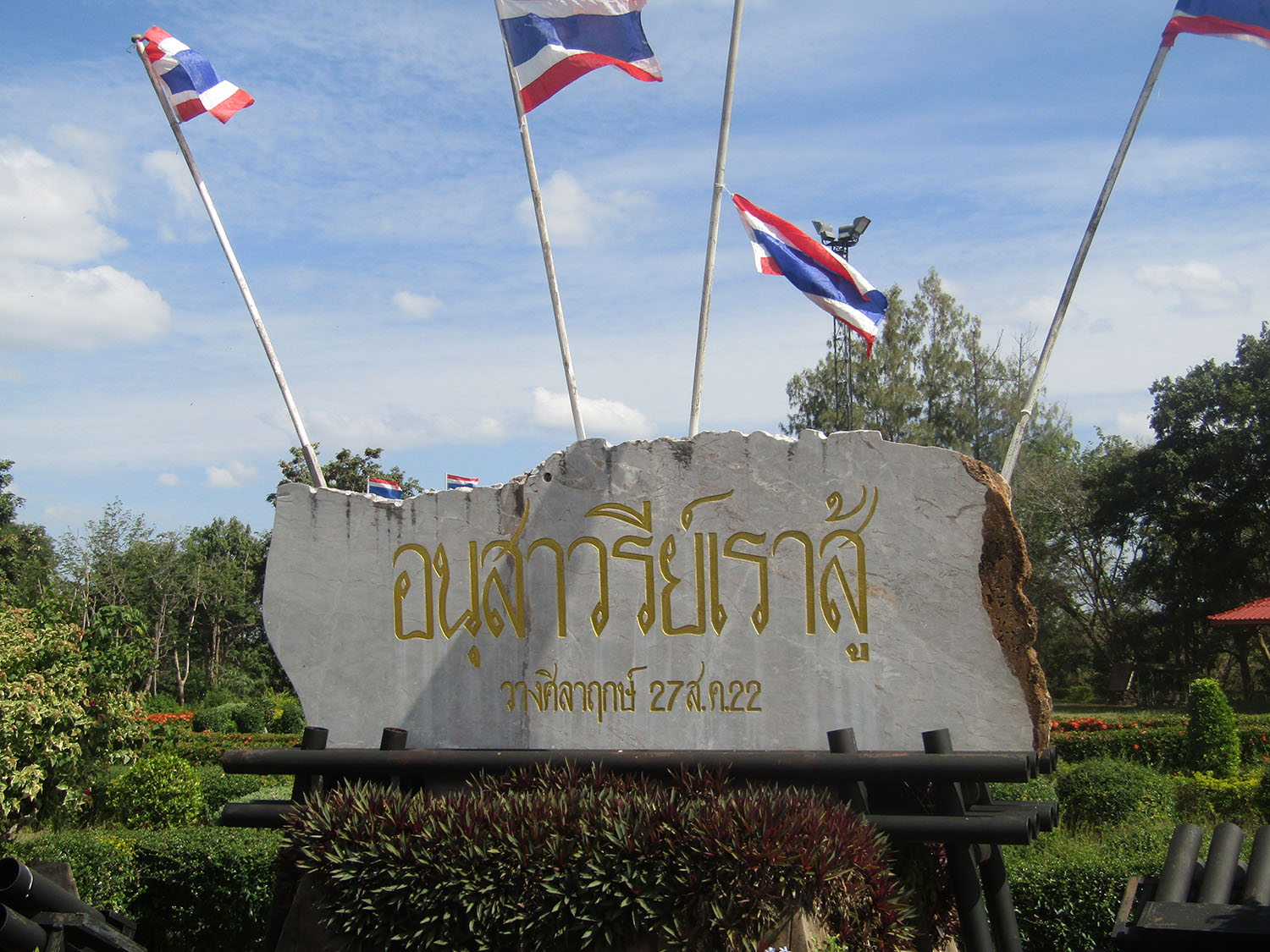
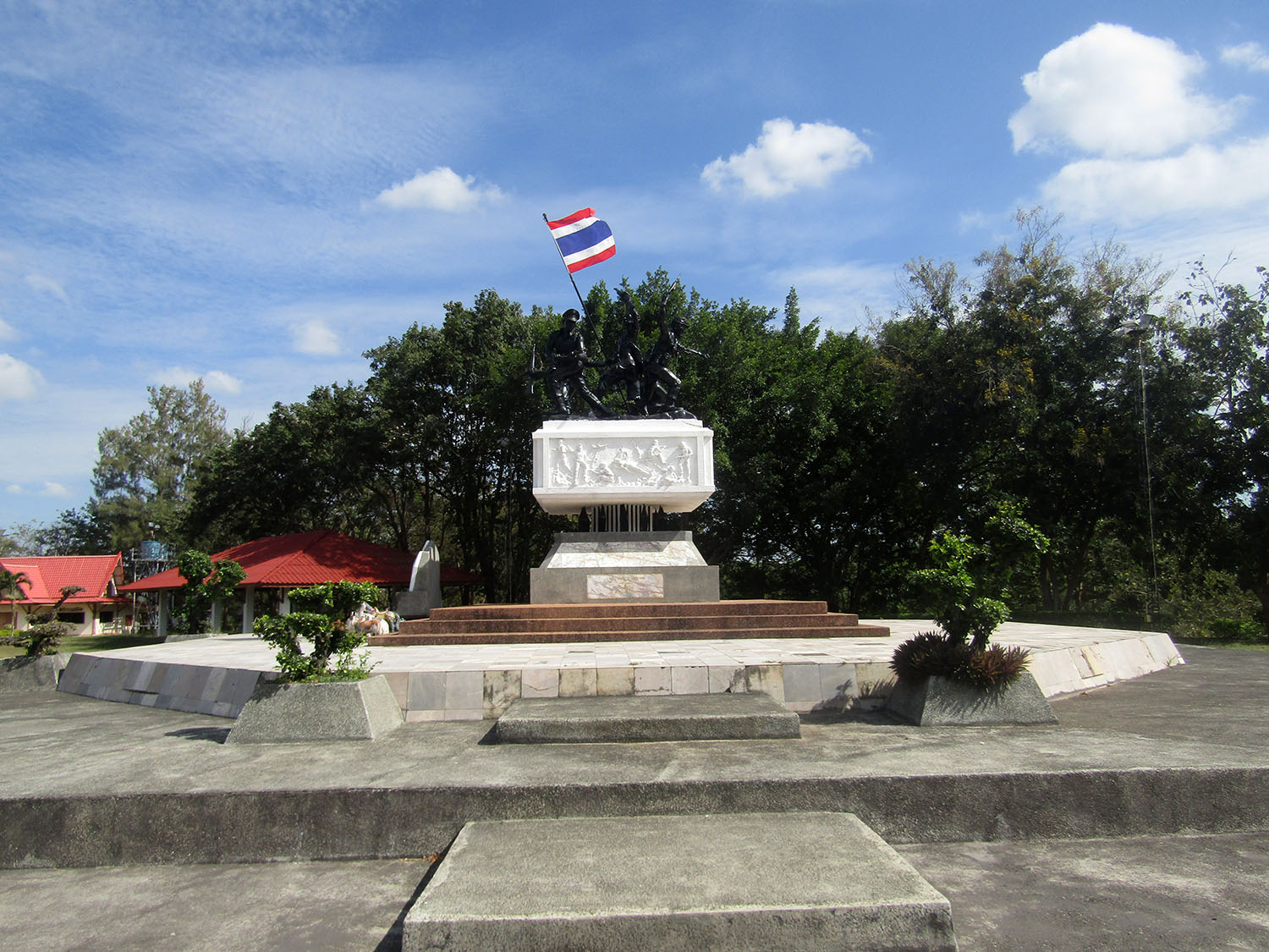
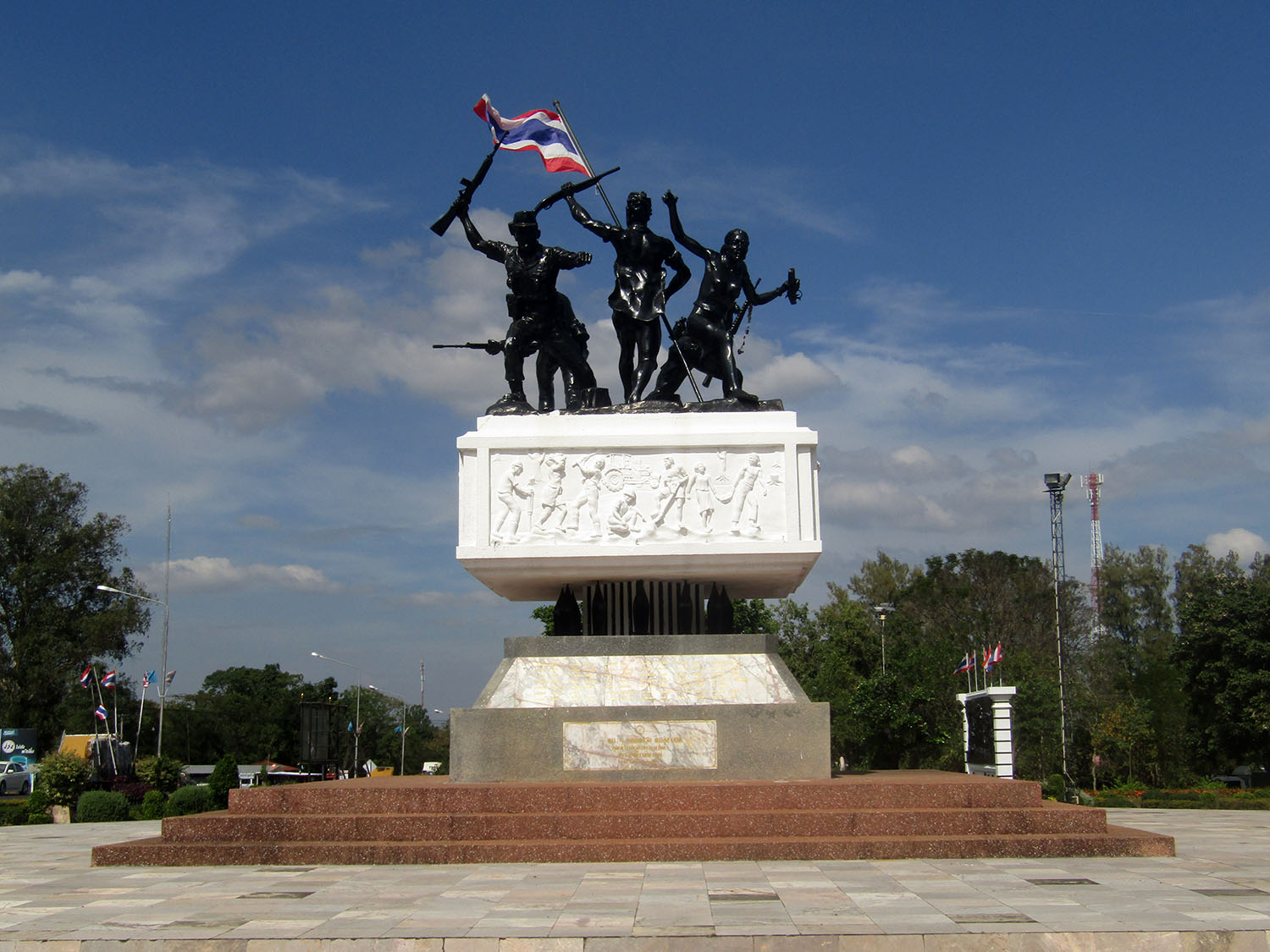
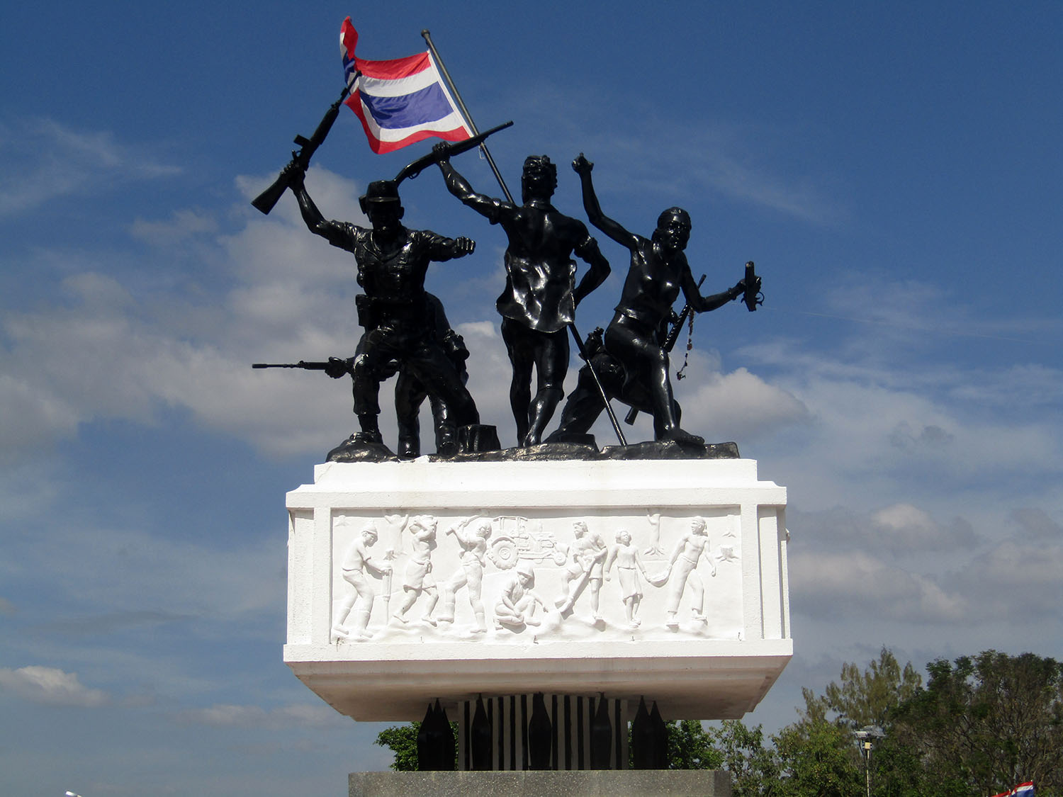
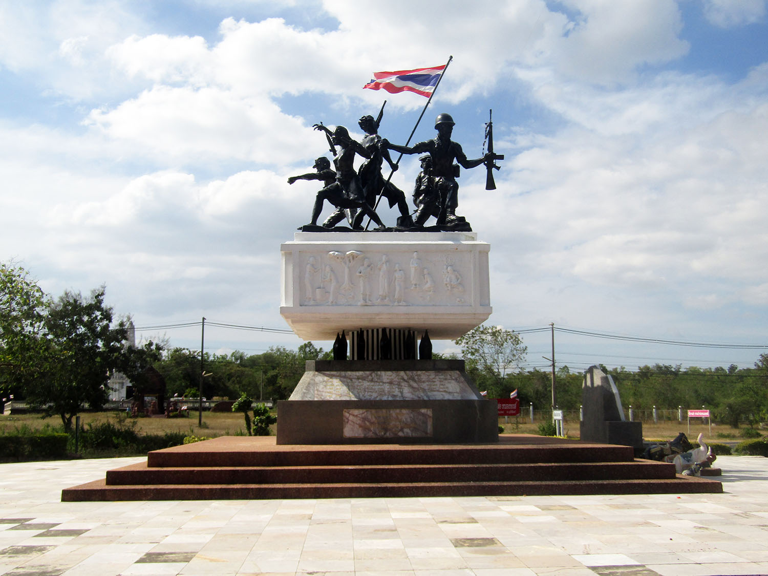
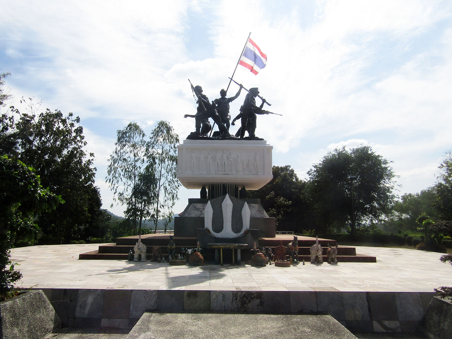
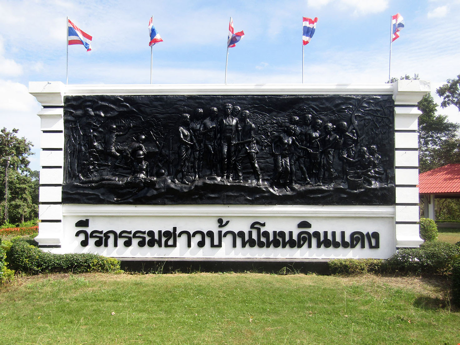
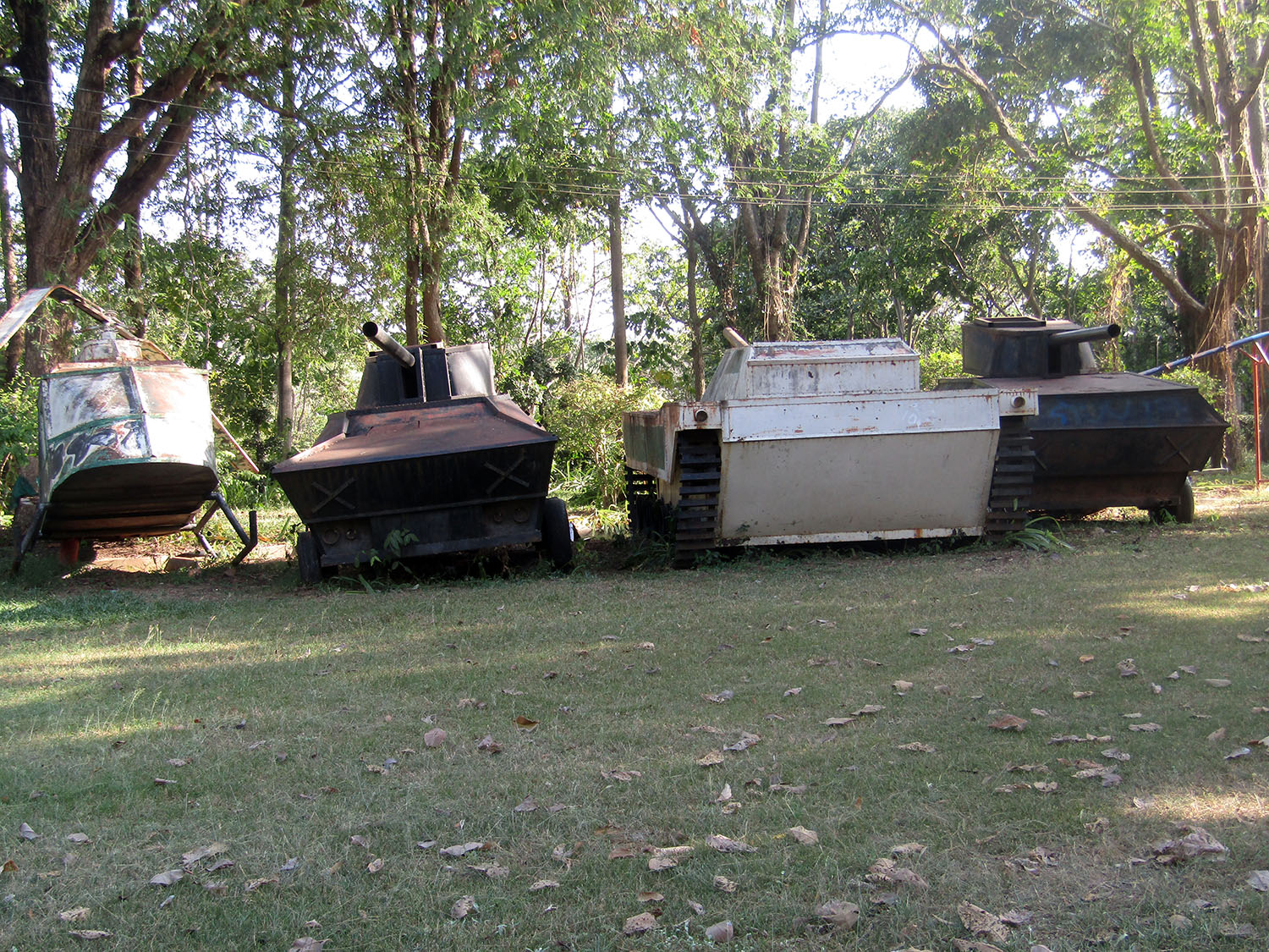
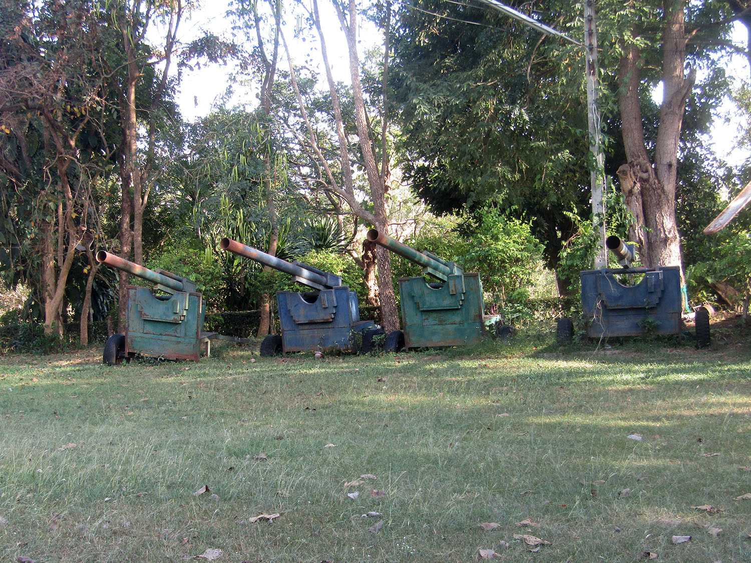
Rao Su Monument……..With my experiment seemingly failing me, I ditch it for the moment and add no further deviation. However, it’s gone 2pm before we arrive at the Rao Su Monument, just one of three attractions I’m interested in, in this remote area of southern Buriram province. Rao Su (We Fight) Monument, located in tambon Non Din Daeng is a war memorial created for the same reason as the one at Khao Kho in Petchabun. It represents the struggle against communist insurgents in the 1970’s.
The monument was built in 1979 in memory of people, civil officials, policemen and soldiers who jointly fought against communist terrorists who tried to resist the construction of the Lahn Sai – Ta Phraya Road (Highway No. 348). Built between 1974 and 1979, this 57 kilometre strategic road was designed to enhance security in the Thailand-Cambodia borderland. The road cut through an area controlled by the communist insurgents who waged a violent struggle against the road construction by densely planting landmines and attacking the security forces’ base guarding the construction. With the cooperation of the people and government officials who bravely fought the enemy, the road was finally completed after five years and eight months. 108 lives were lost with 222 other casualties. The monument was granted royal permission to use the name of the song, ‘Rao Su’, composed by his Majesty the King. General Prem Tinsulanonda came to lay the foundation stone on 27th August 1979 and presided over the opening ceremony on the 26th of August 1980.
The monument was built in 1979 in memory of people, civil officials, policemen and soldiers who jointly fought against communist terrorists who tried to resist the construction of the Lahn Sai – Ta Phraya Road (Highway No. 348). Built between 1974 and 1979, this 57 kilometre strategic road was designed to enhance security in the Thailand-Cambodia borderland. The road cut through an area controlled by the communist insurgents who waged a violent struggle against the road construction by densely planting landmines and attacking the security forces’ base guarding the construction. With the cooperation of the people and government officials who bravely fought the enemy, the road was finally completed after five years and eight months. 108 lives were lost with 222 other casualties. The monument was granted royal permission to use the name of the song, ‘Rao Su’, composed by his Majesty the King. General Prem Tinsulanonda came to lay the foundation stone on 27th August 1979 and presided over the opening ceremony on the 26th of August 1980.
 Rao Su Monument, Non Din Daeng District, Buriram Province
On the opposite side of the road is the Chao Por Nong Hong Shrine
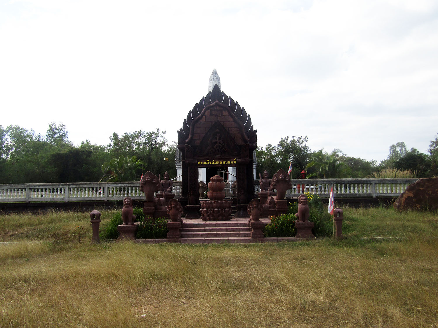
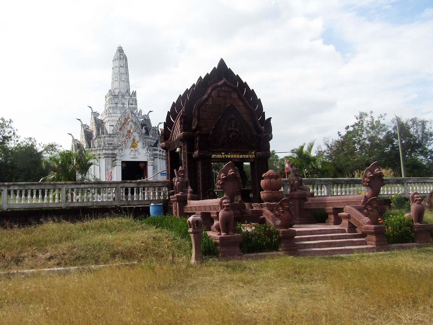
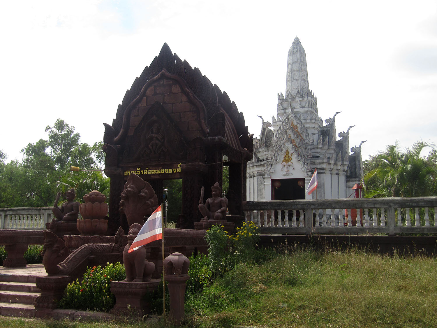 Chao Por Nong Hong Shrine, Non Din Daeng District, Buriram Province
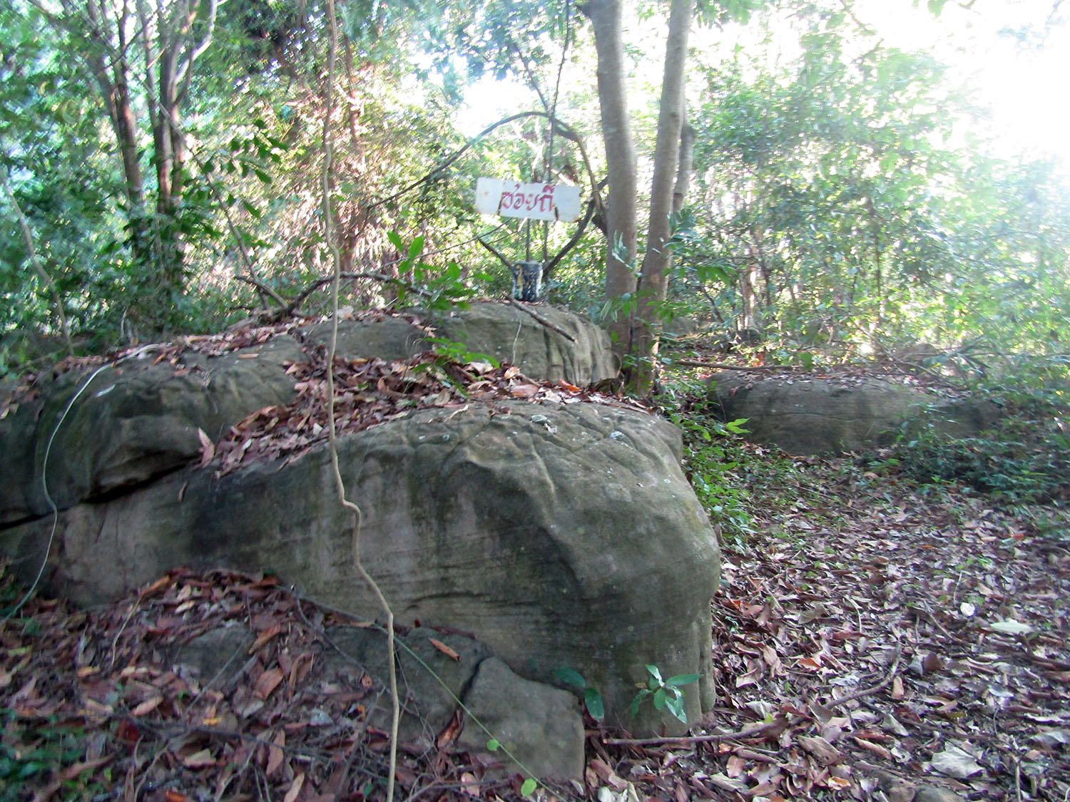
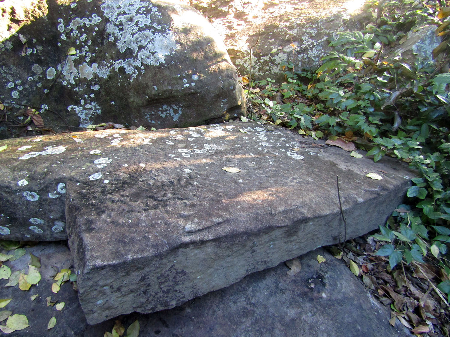
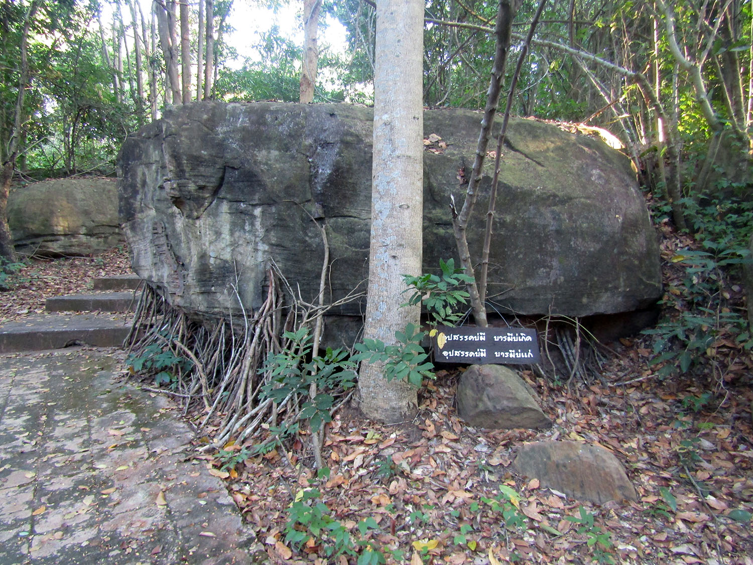
Prasat Nong Hong……..The second site in this area a couple of kilometres away is Prasat Nong Hong. This is a Hindu sanctuary consisting of three brick towers situated on a single laterite base all facing east. Each tower has a single front entrance with false doors on the other three sides. All buildings are surrounded by a laterite wall with two entrance gates at the front and back. From the architecture as well as decoration, the sanctuary is believed to have been constructed in Baphuon style, dating from the 11th Century.
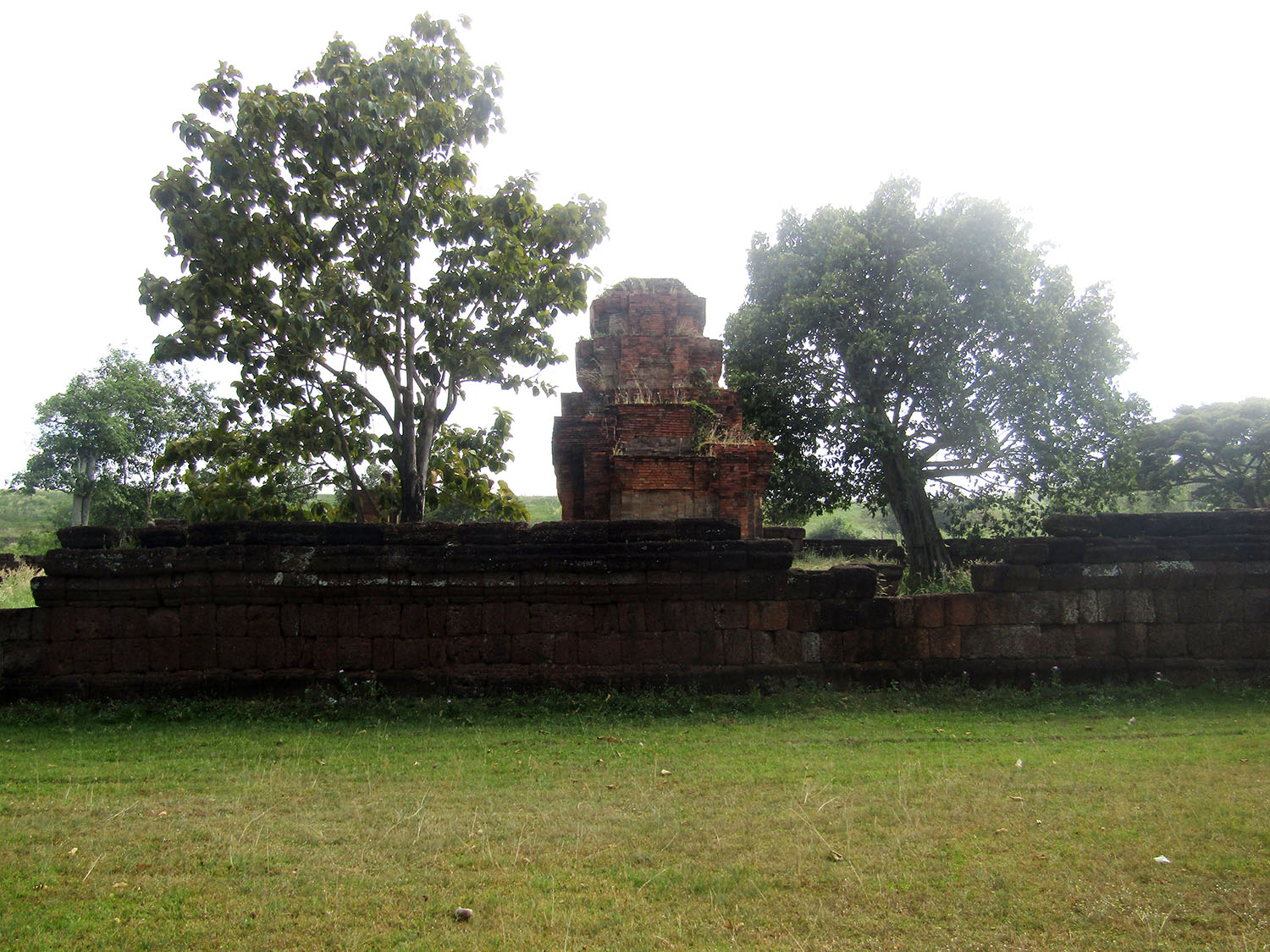
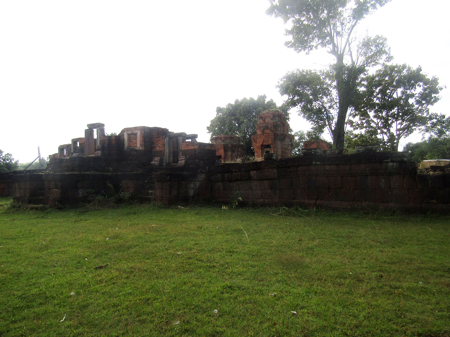

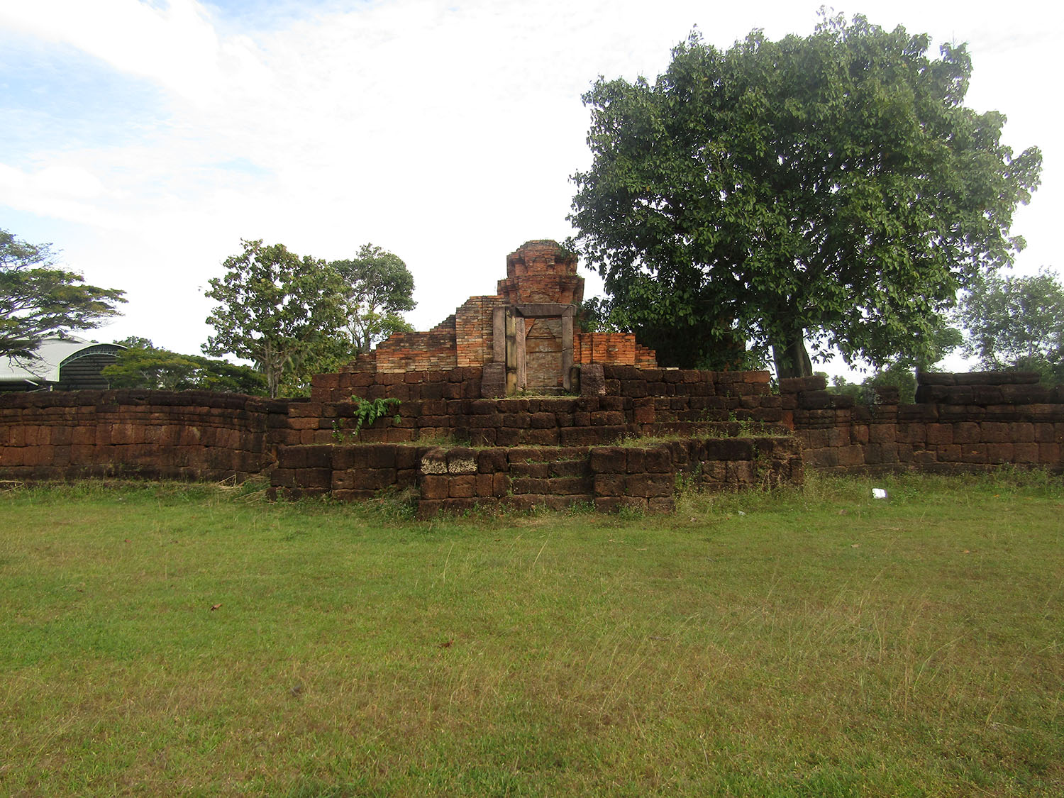
 Prasat Nong Hong, Non Din Daeng District, Buriram Province
With these two sites well exceeding my expectations, I move on to the one that attracted my here in the first place from my map studies.
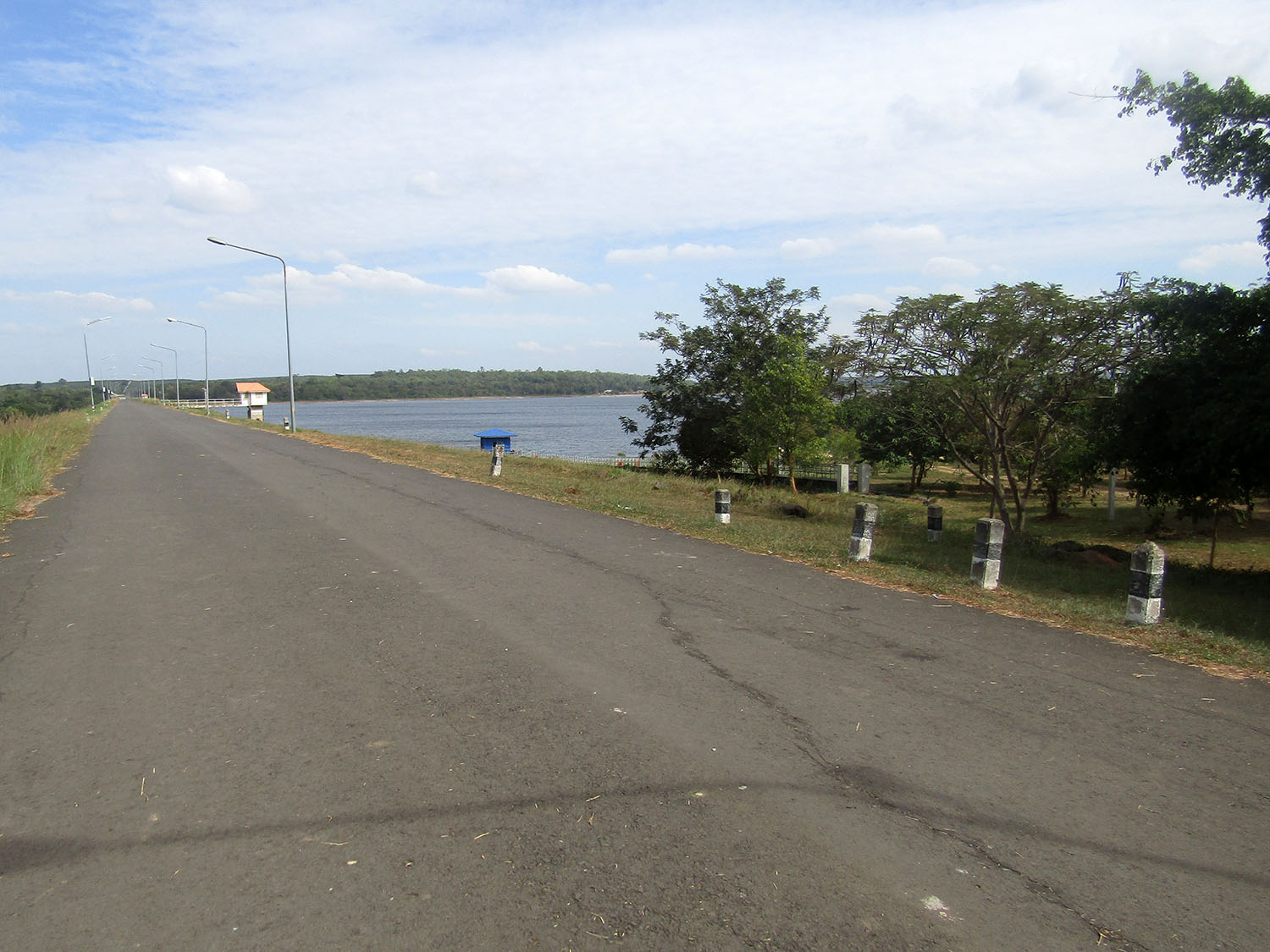
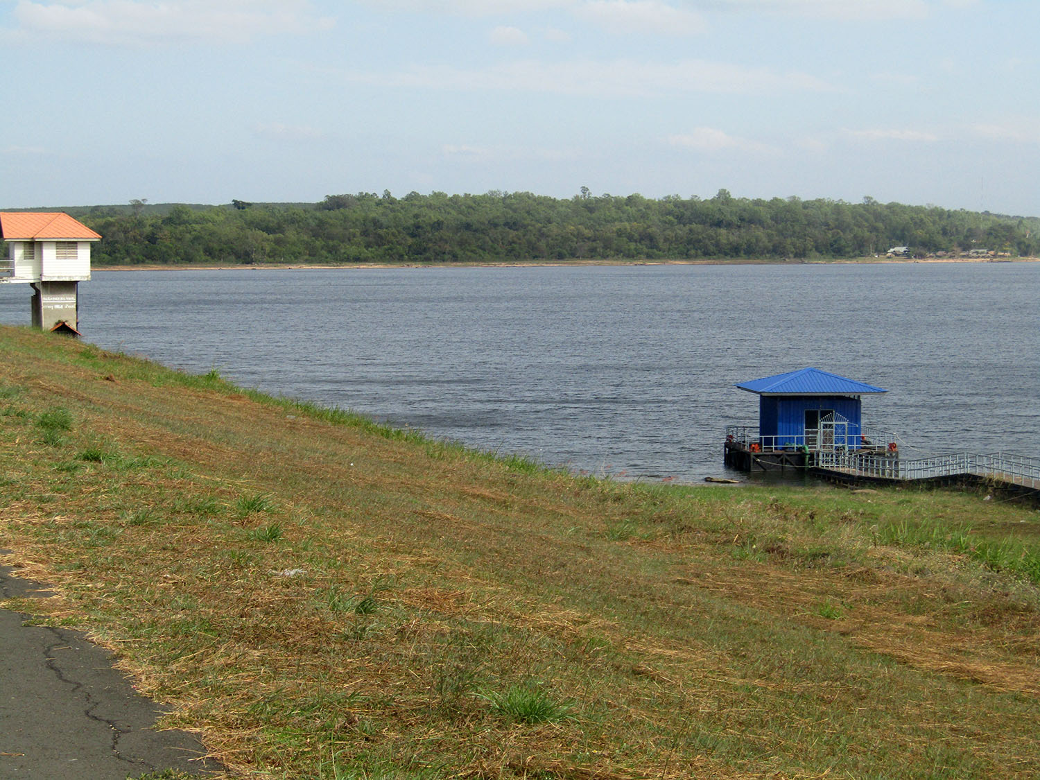
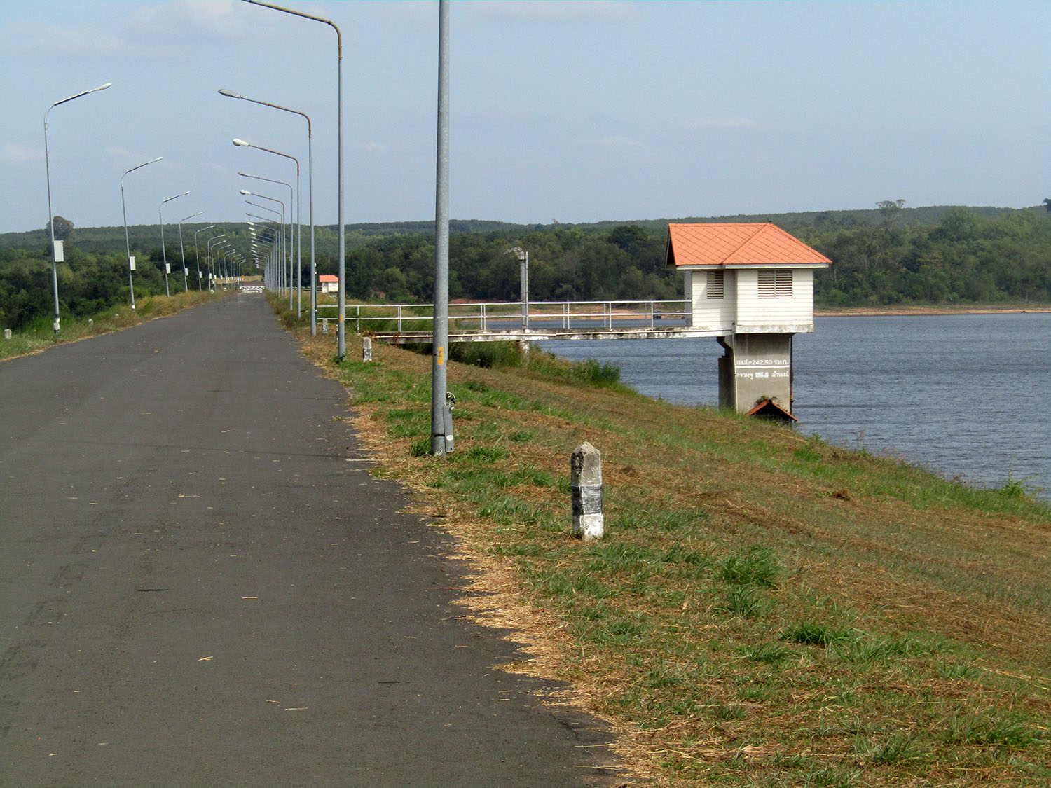
Lam Nang Rong Dam……..The Lam Nang Rong Dam is one of the water source development projects under royal initiation. It is under the responsibility of the Lam Nang Rong Operation and Maintenance Project, Irrigation Office 8, Royal Irrigation Department. The project originated from the problem caused by communist insurgents in the area who tried to interrupt the building of the Lahn Sai – Ta Phraya Road. After the fighting intensified from 1977, the peoples' living conditions deteriorated; they were not able to earn a living outside the villages and had to cluster together in the village of Ban Non Din Daeng in suffering conditions. When His Majesty the King leant of the problem, he suggested the development of the Lam Nang Rong basin to improve peoples’ livelihood. The Royal Irrigation Department was asked to construct Lam Nang Rong Dam. Klong Manao Reservoir, Lam Patia Reservoir and Lam Changhan Reservior including an irrigation system and small reservoirs in many villages.
Lam Nang Rong Dam was completed between 1980 and 1982 and the irrigation system built subsequently between 1985 and 1991. The nearby area of the dam was also developed with the creation of a beautiful sand beach which offers a scenic view which became known as ‘Lam Nang Rong Beach – the Lake of Southern Isaan’.
 Lam Nang Rong Dam, Non Din Daeng District, Buriram Province
Understandably it would be nice for us to pause here and we take the opportunity to eat a late lunch; yet by the time we’re done it’s 3pm and thoughts of substantially adding to my site list today are rapidly fading given that were are over 100 kilometres from Buriram. Having plotted a new route back to keep options open, we begin the return leg. The first site on the list is Potholes Park.
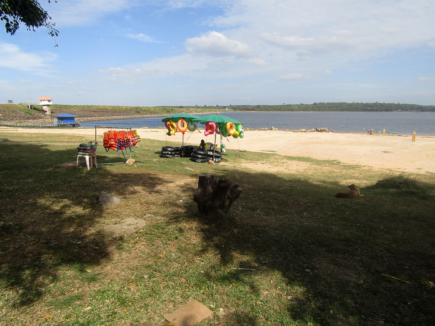
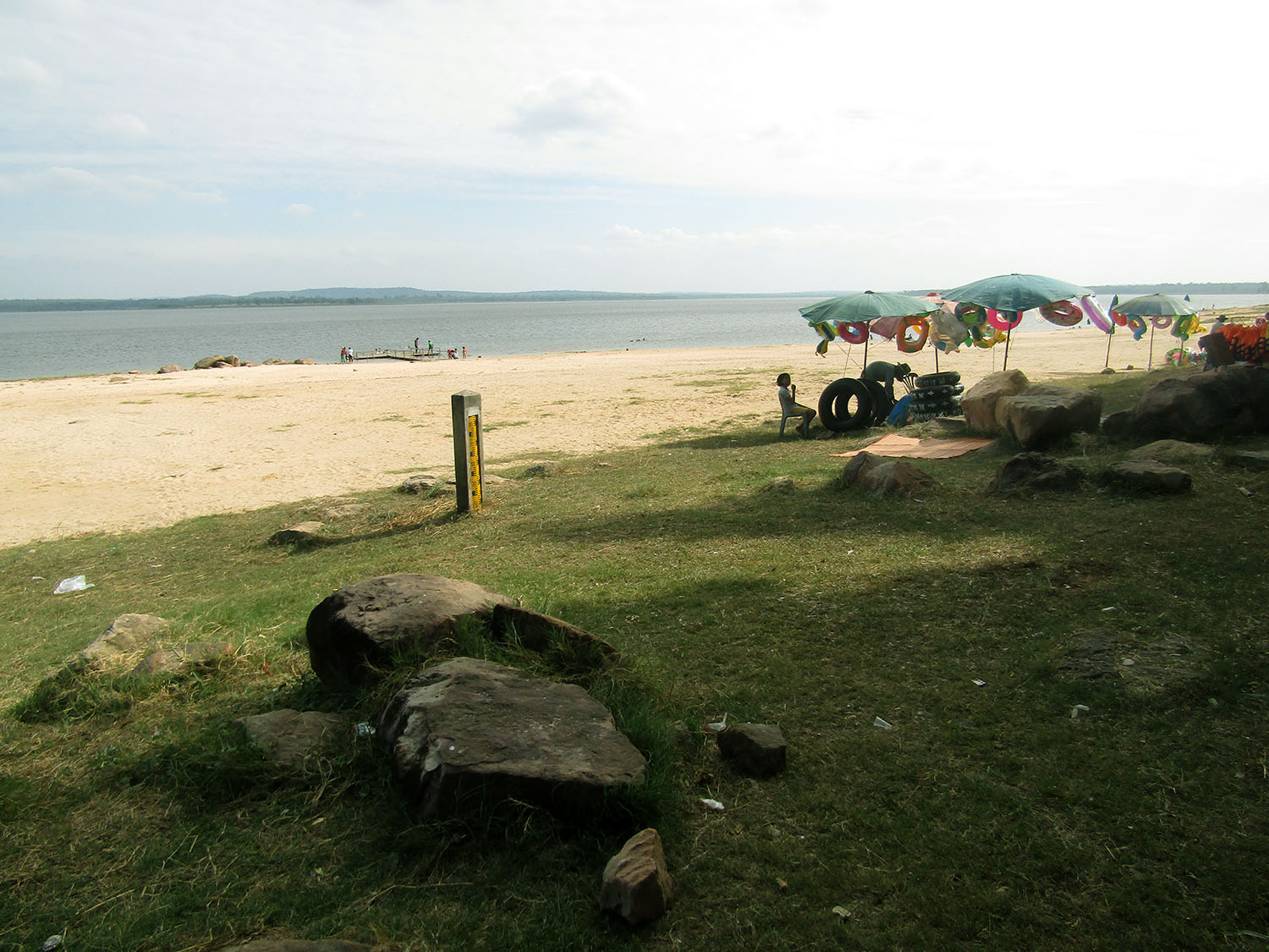
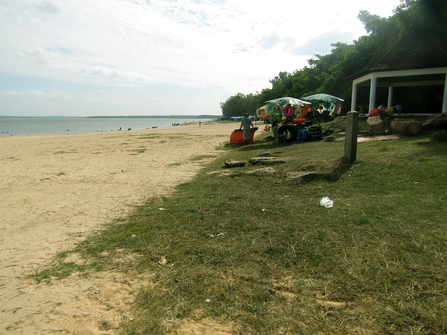 Lam Nang Rong Beach, Non Din Daeng District, Buriram Province
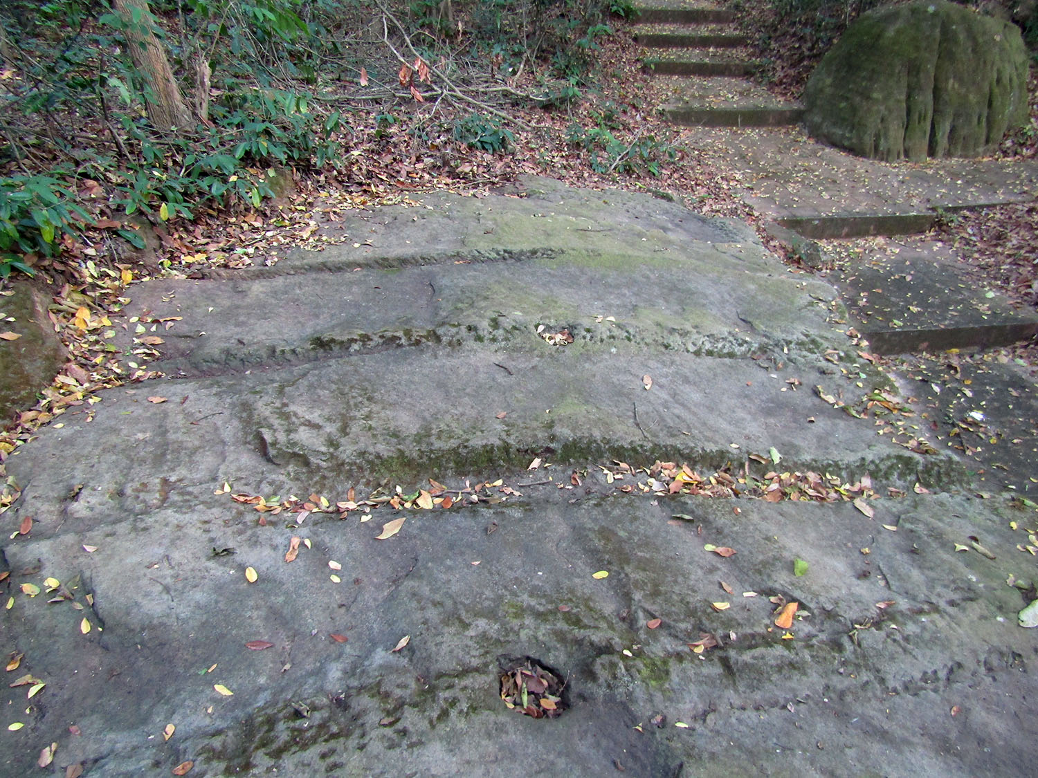
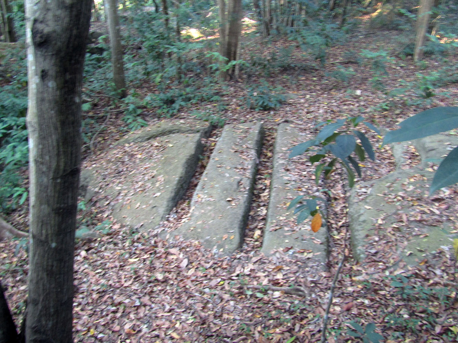
Kumpalak Old Hole Rock……..Located 10 kilometres east of Lam Nang Rong Dam in Ban Santi Suk, Lahan Sai district, this Potholes Park features Thailand’s largest group of potholes. There are more than 16 large natural potholes in the rocky ground. Their width varies from 40 centimetres to 3 metres with a depth of between 2.5 and 14 metres. It is postulated that the area was an ancient riverbed, 150 million years ago, during which these potholes were formed by pebbles which were transported by water and left on the bedrock. After spinning around for a long time, the pebbles ground away the bedrock thus forming potholes.
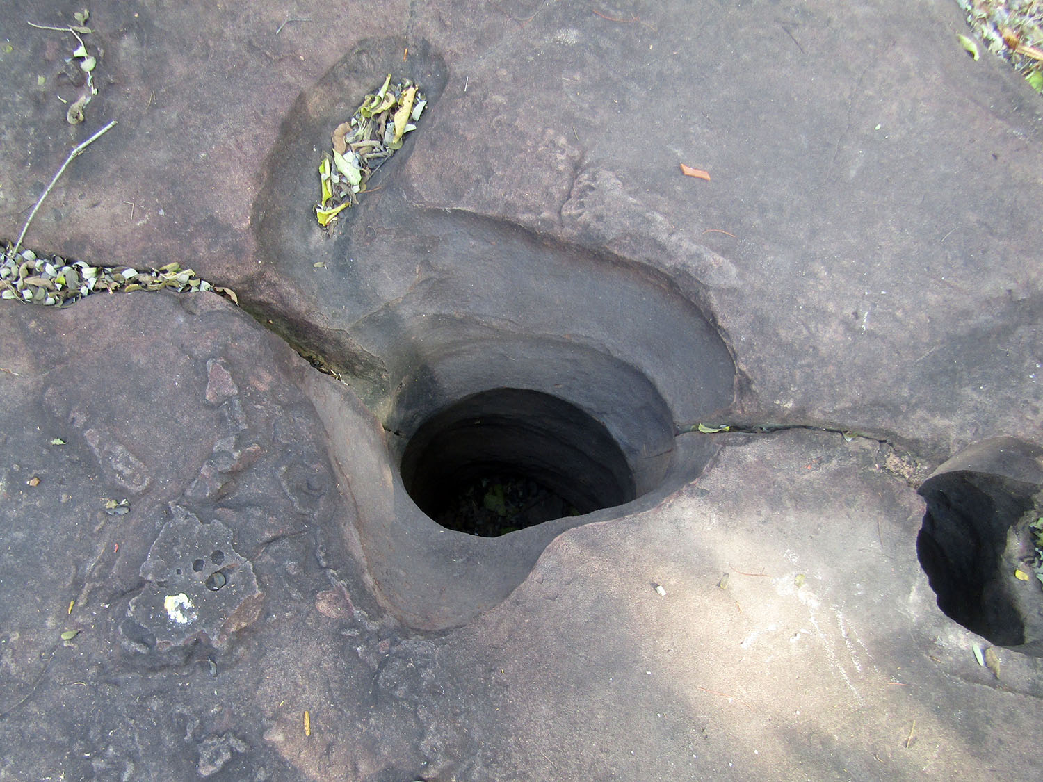
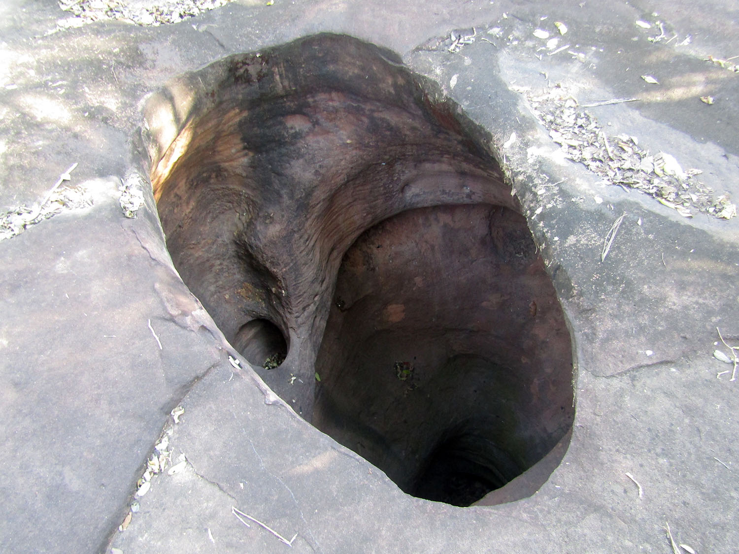
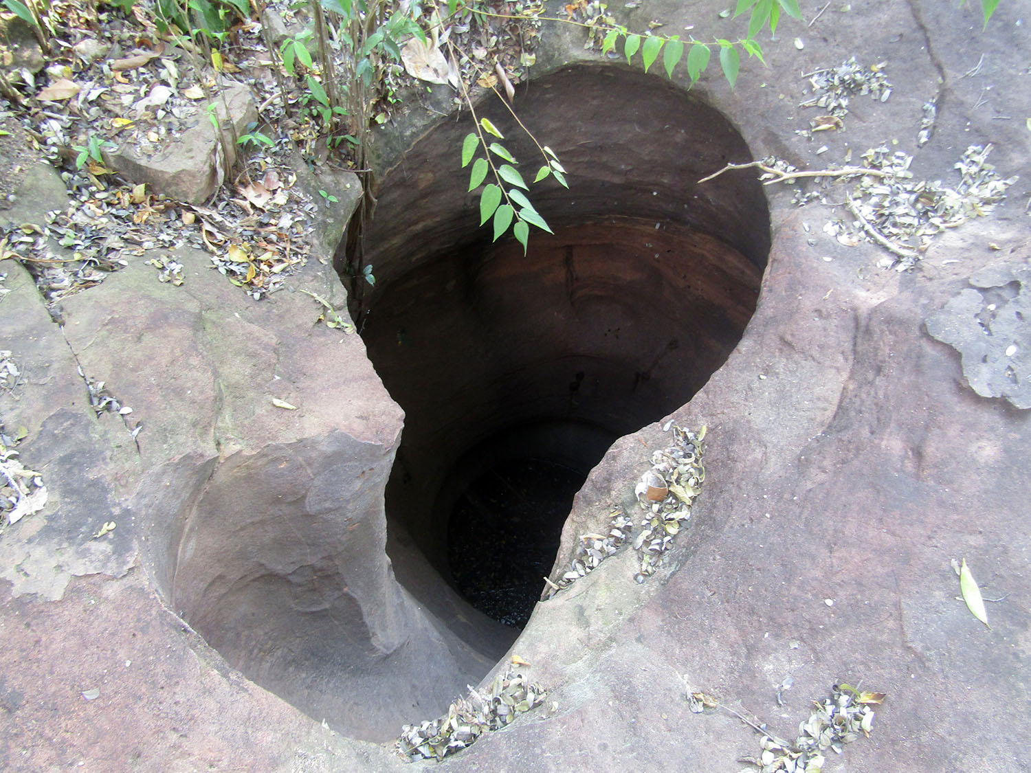
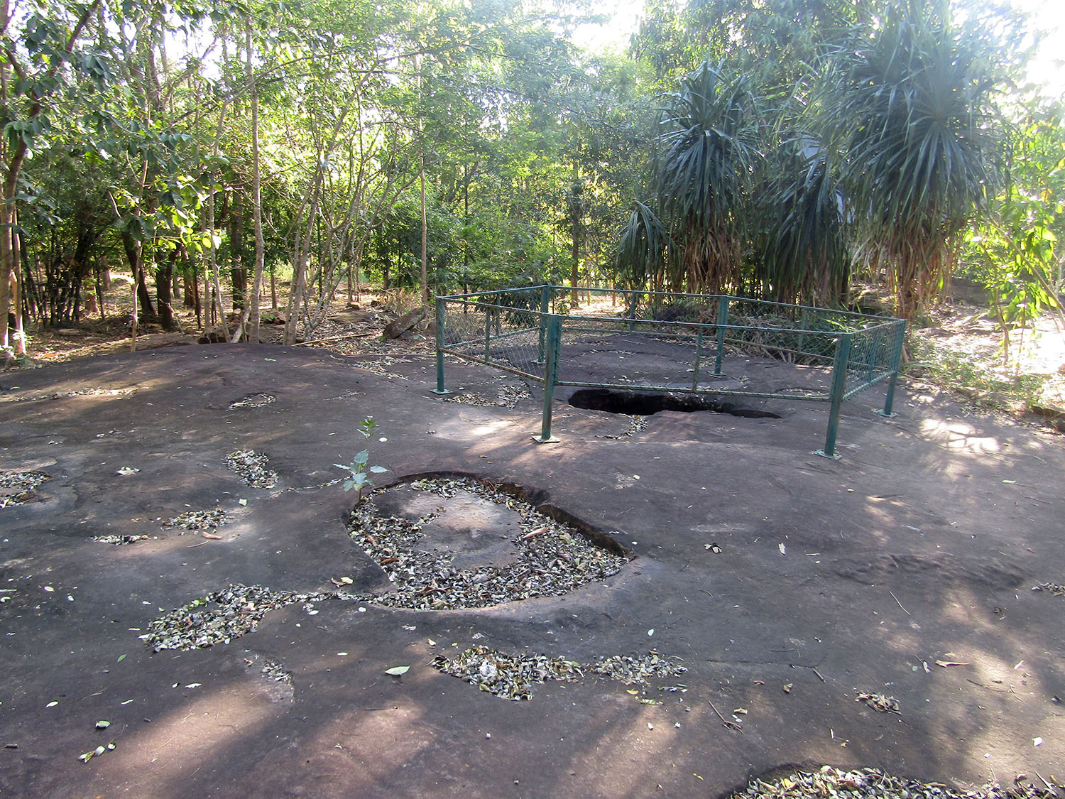
 Kumpalak Old Hole Rock 150 Million Years, Lahan Sai District, Buriram Province
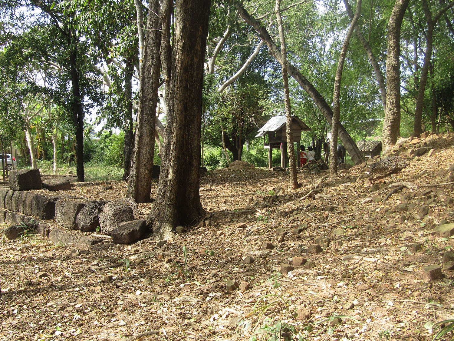
Ban Kruat Stone Quarry……..Still heading east, we pass the other reservoirs constructed as part of the royal irrigation project but we’re running out of time and I have to strike them off my list. Instead we make our way northeast but using only rural roads it’s slow progress to reach what my well be the last site visit of the day. Finally, at about 4pm we reach Ban Kruat Stone Quarry. Finding ourselves at a temple we engage with a monk who is disposed to lead us to the quarry.

 Ban Kruat Stone Quarry, Ban Kruat District, Buriram Province
Ban Kruat or ‘The Stone Village’ was probably once the stone quarry used for the construction of the main monuments in the area such as Prasat Phanom Rung and Prasat Muang Tam. Comprising an area of about 480 hectares, the ancient quarry is situated on a raised platform which runs alongside the Huay Mekha Waterway, Khao Kloy and Khao Krajiao mountains. Holes drilled in a neat row and hollowed out square and rectangular, form definite traces of the ancient quarry with some of the blocks still lying around in disarray.
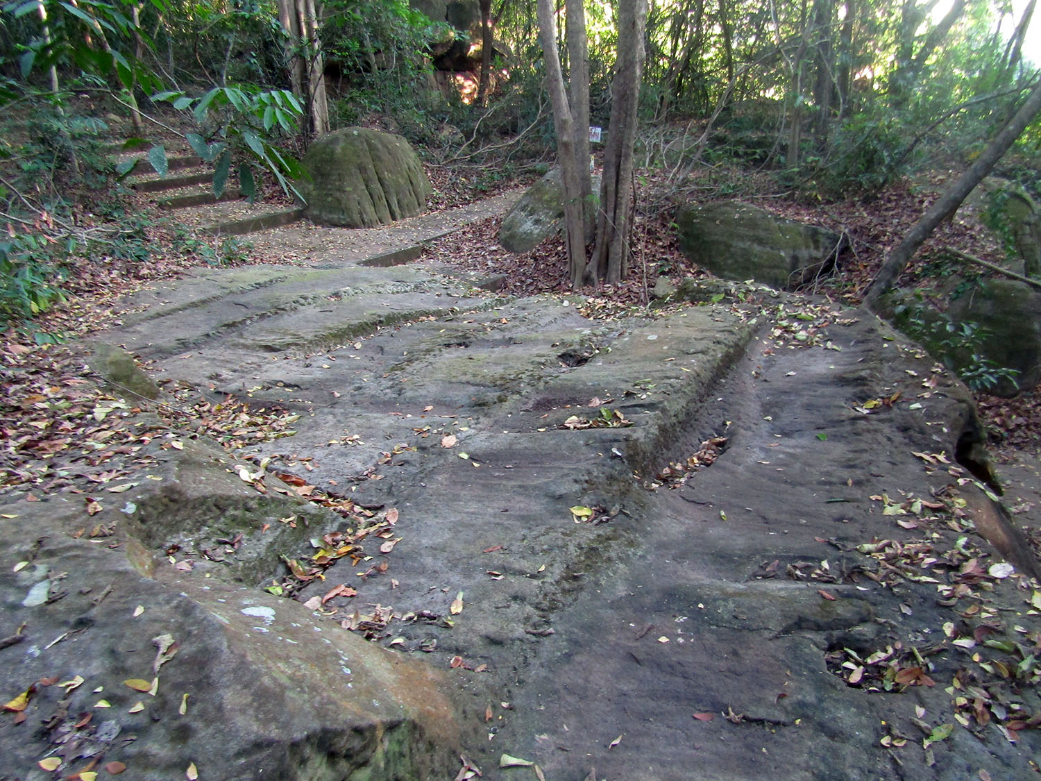
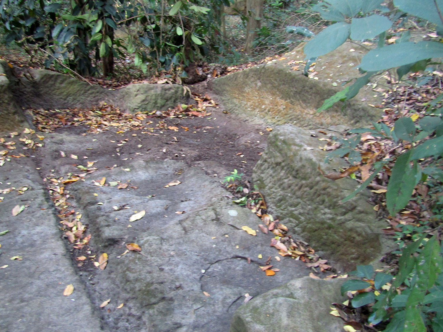
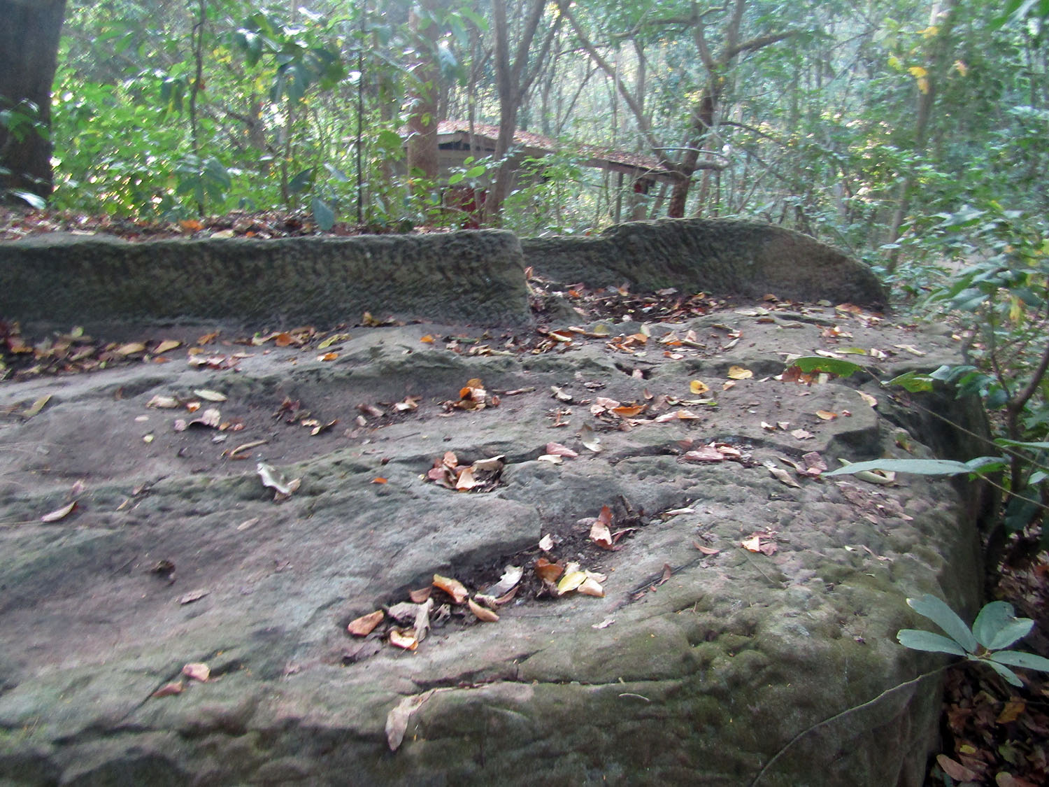
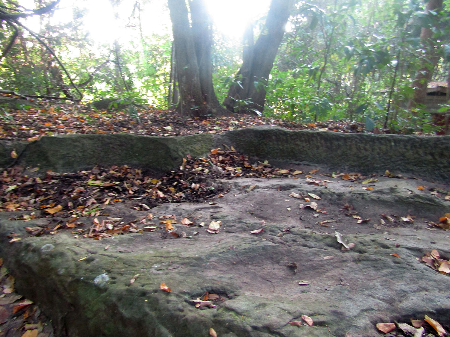
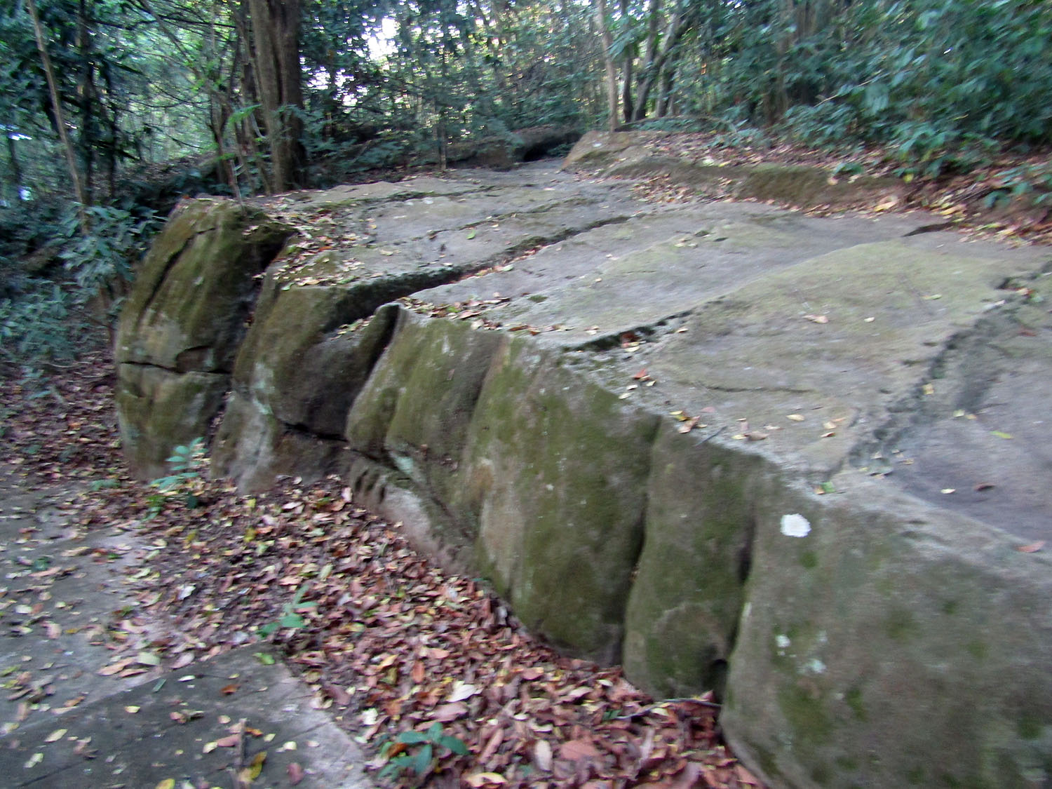 Ban Kruat Stone Quarry, Ban Kruat District, Buriram Province
Now at 5pm it’s almost certain we will not be back before dark yet while it’s still light there may be other sites I can visit on the way. Finding ourselves near Prasat Phanom Rung, I set the GPS to look for it only to find it directs us into the middle of a rice field. I have to give it up for the day. There have been some amazing locations visited today but they’ve come at a cost.
Lessons learn……..I cannot disguise the fact that I return to Buriram quite frustrated. It’s not gone well to plan but there is a huge opportunity to learn from mistakes. To start with, the plan was too ambitious. 100 kilometres range is too much and it would have been better to have checked out of The S Hotel in Buriram. Even better, it would have made sense to have made this trip a day later. Tomorrow, Monday, the museum in Buriram is closed. I just know I’m guilty of poor judgement.
On the plus side, I learnt to add stopovers to the tour plan via GPS. Under the right circumstance this could improve the overall efficiency of a tour. On the negative side, however I missed out on some interesting sites either because I ran out of time or by issues with naming or location of sites on the Google Map data base. To overcome these issues, I need to improve preparation and make sure the markers are correct and accurately located with the coordinates. I don’t need to end up in a rice field or find I’m in the wrong place or miss something important due to spelling issues that are all too common.
One final adjustment was made today. To date using my mobile phone for GPS all day has resulted in it running out of charge. It should just be a matter of connecting it to the USB socket in the vehicle which worked perfectly well on a previous trip with a Toyata Vois. However in this vehicle every time I connect the USB, the screen goes dead. The issue is finally resolved when I fit a power bank inline. Now it seems I can carry on indifinately. Next Page.