|
|

|
Tuesday 28 November 2017 On ya Bike........If we’re to make some distance today we ought to start quite early but last night Katoon wasn’t feeling well and turned in early. While she’s feeling better after a good night’s sleep she doesn’t seem too eager to get started. In fact by 10am she’s not even packed. I’m not sure how the day will pan out now and I’m thinking of abandoning any meaningful tour for today. At 11am we finally check out only to pick up bicycles for another trip around the town. It’s not unwelcome; we should have done it earlier. 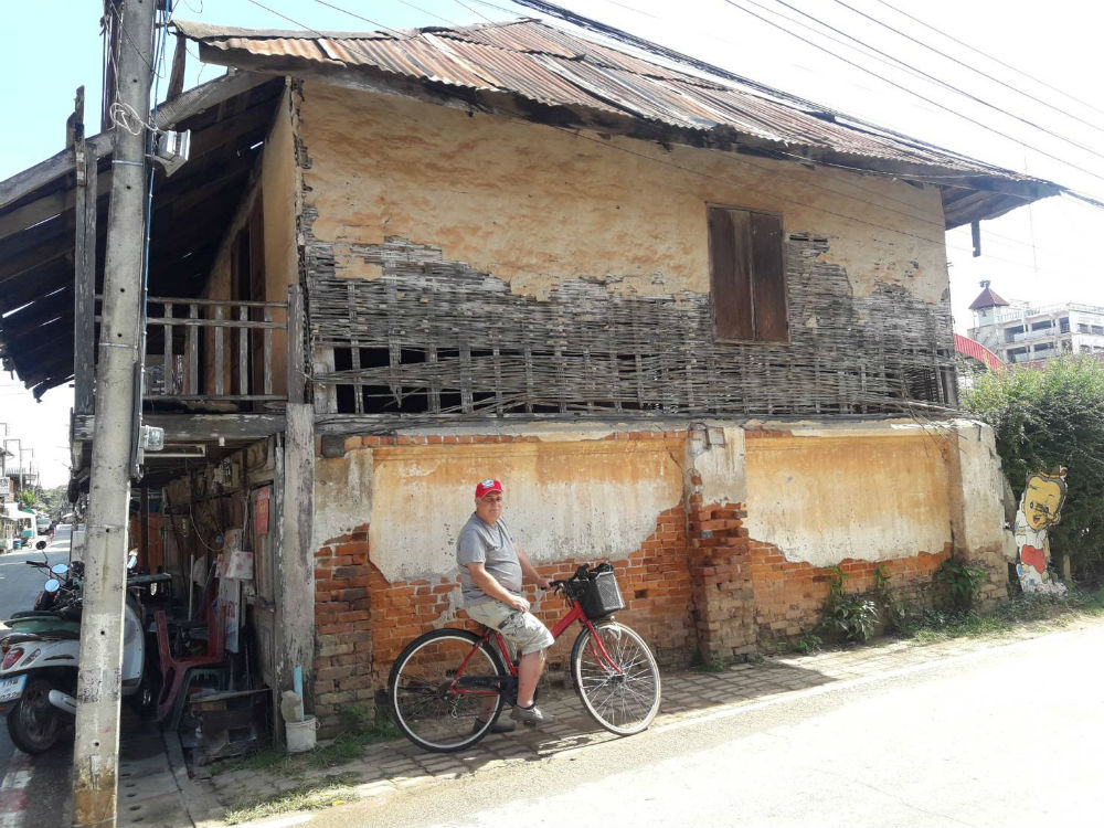
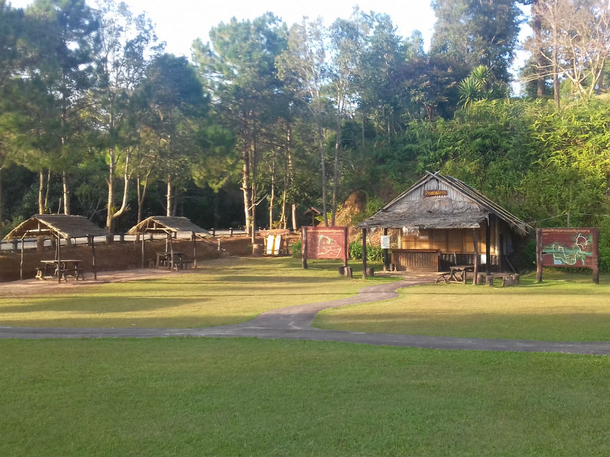
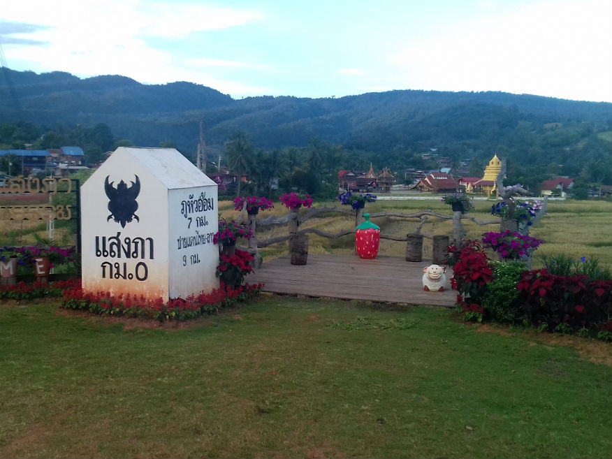
 Chiang Khan bicycle tour, Loei Province
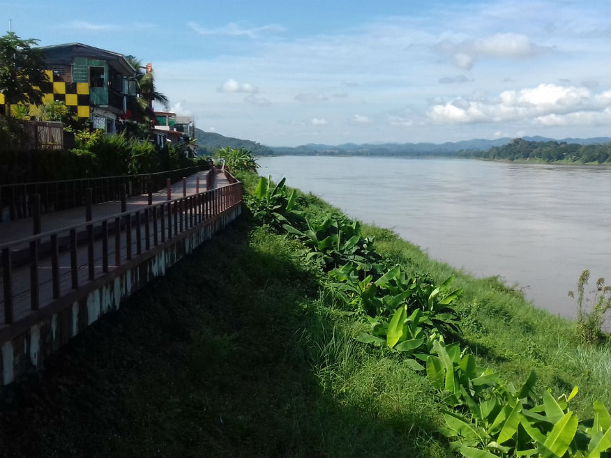
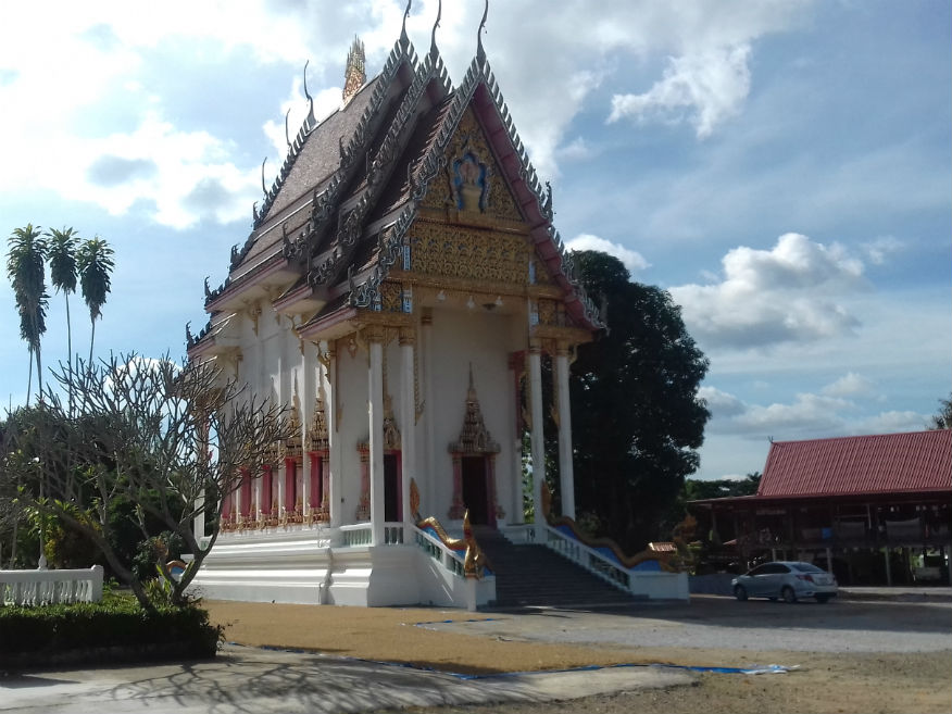
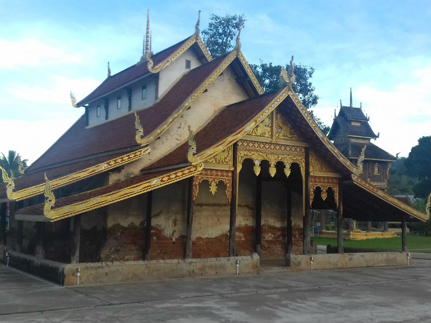
Wat Tha Krok........Google Map This temple is at the east end of Chai Kong Road (walking street) and we don’t really need a bicycle for that. As we arrive there is work going on to construct a funeral pyre for a monk who has recently died but I always start by searching for any information boards or literature in English. There isn’t any so it looks like a dot ball. But there is information in Thai and Katoon gets to work reading and asking questions. I find out that construction of this temple started in 1547 but remained unfinished until the Golden Age (mid 17th century). The style of the temple is typically Lan Xang, the Laotian dynasty from Vientiane and Luang Prabang that ruled this area at the time. Curiously it is one of only two temples in Loei province with its entrance facing west. I leave this temple with a better understanding of why the folk in this area speak a dialect that is close to Thai/Lao. We head along the waterfront on a cycle/walkway which adds to the charm of the town and re-emerge to return along Chai Kong Road. At midday we finally depart. 
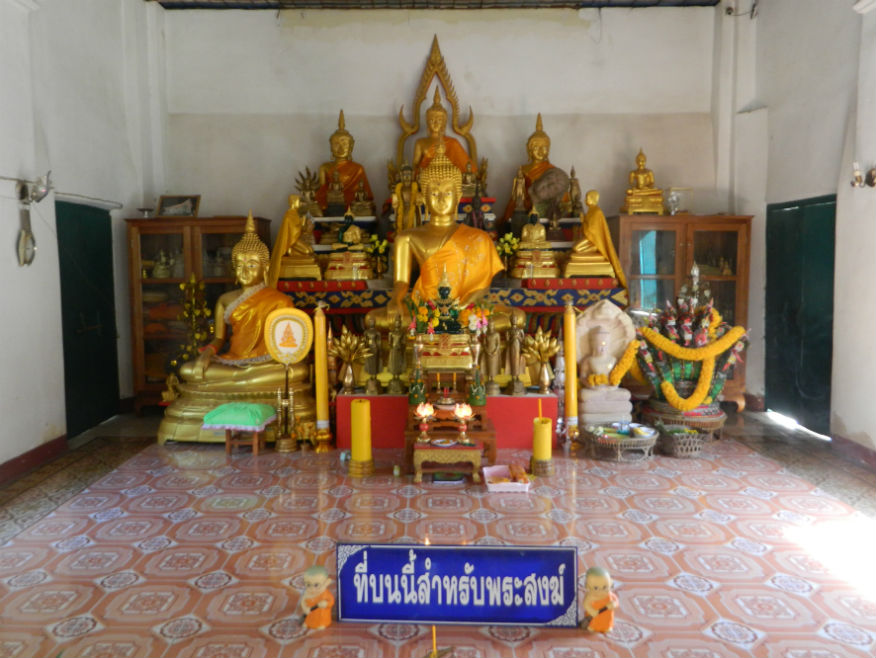
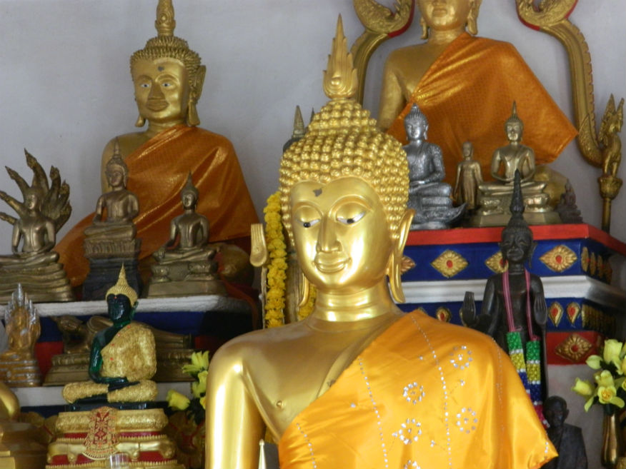 Wat Tha Krok, Chiang Khan, Loei Province
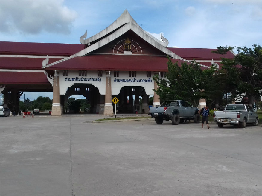
Tha Li........Google Map The first task now is to fill the tank and buy something convenient for lunch, then head south towards Loei. Ideally I’d like to visit the remote western districts of Loei province but that’s really a day trip. Even so we turn west towards Tha Li with a possible secondary destination of Na Haeo, both of which offer little in the way of accommodation. On reaching the outskirts of Tha Li the monument on the right is Phra That Satcha, Google Map a site of some historical importance dedicated to honesty, faithfulness and truth but also a place of sadness. Nearby is a large statue of Guan Yin (Chinese Goddess of Mercy)......more. Other than this, Tha Li’s only claim to fame is it’s border crossing with Laos......more. Reaching the recently constructed immigration post, there’s nothing much here I can report on so we continue along the border following the River Hueang. 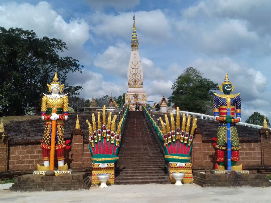
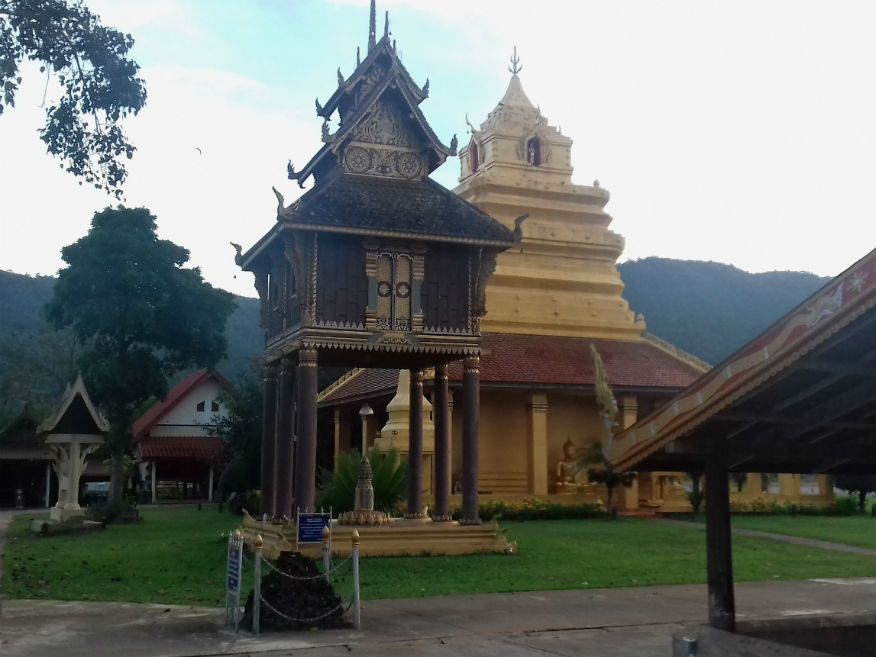
 Wat Lat Phu Songtham (Phra That Satcha), Border Post, Wat Siri Mongkol (top row)
and Prathat Manao Diao (bottom left) housing the ancient stone Buddha image, Tha Li and A Hi Districts, Loei Province
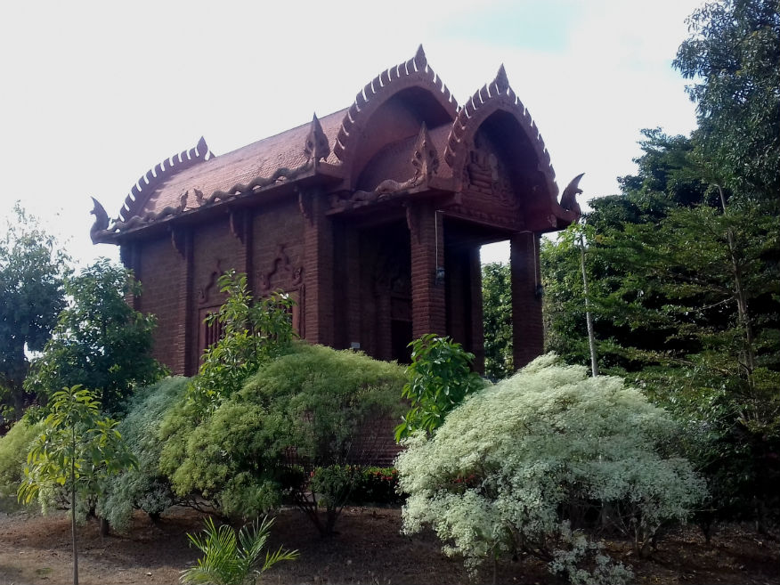
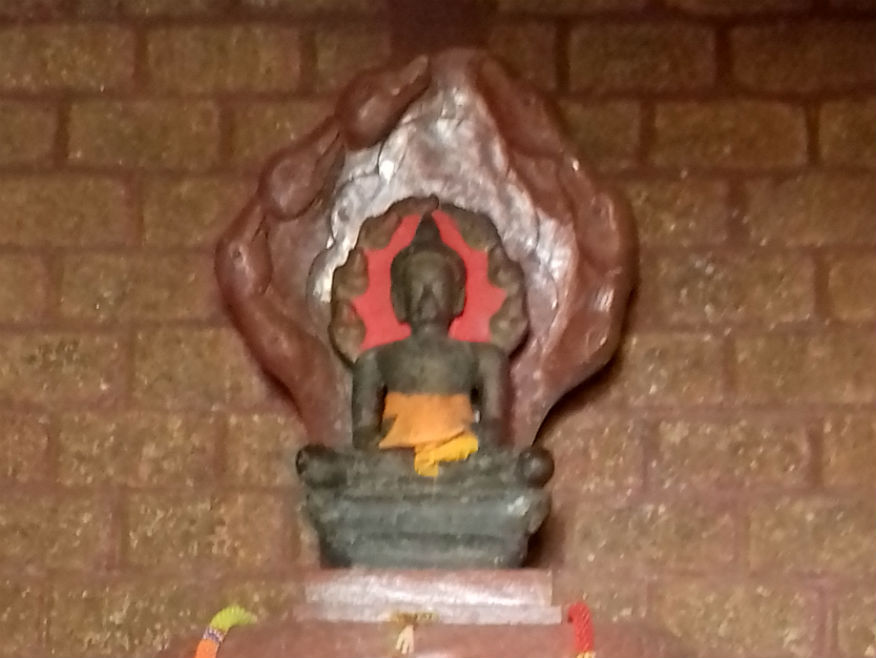
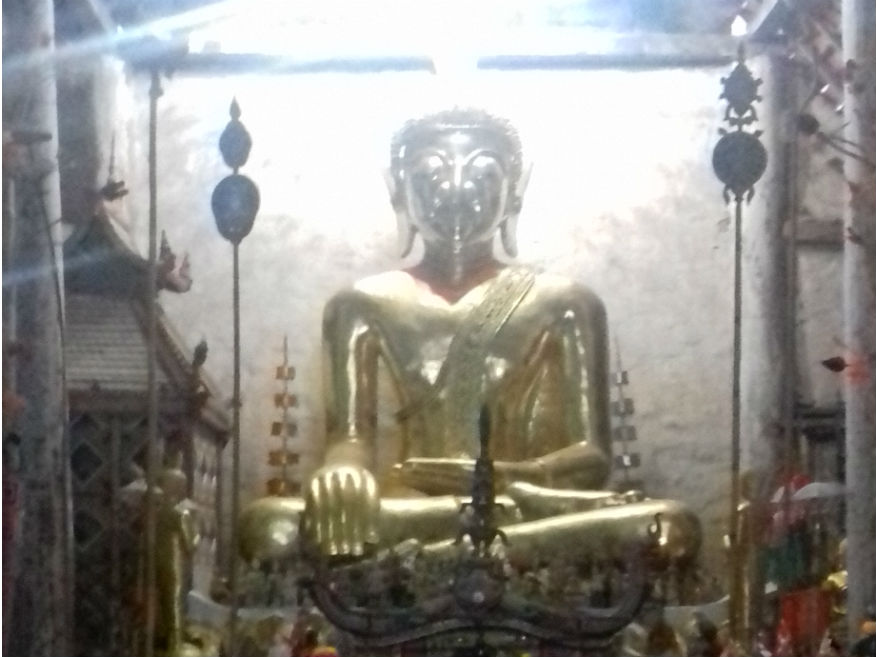
Wat Siri Mongkol........Google Map The road along the border is not the best but at least it’s scenic and we just stumble upon a temple at A Hi called Wat Siri Mongkol. The most obvious feature is the tall ubosot but a strange looking building nearby catches my eye. Prathat Manao Diao is a viharn constructed from cut laterite blocks, a type of construction that goes back as far as the Bayon period of the Khmer empire. Katoon sets about her enquiries and it’s confirmed that it was the intention to create this style to house an important Buddha image, a stone sculpture dating back 1,500 years again associated with Luang Prabang. I can see why finally they went to a lot of trouble to protect it. Understandably the viharn is kept locked but a monk kindly opens the doors for us to view this precious image. Na Haeo........Google Map The road now continues deeper into forest and you get a feeling of isolation, of being in a wilderness. With slow progress it’s around 4pm as we reach Na Haeo but at a junction katoon continues west. As far as I’m concerned we’ve now reached the limits for returning back to civilisation before dark. But Katoon is unfazed and heads further west into the mountainous region of Na Haeo district. To add to my concerns, I can no longer pick up a signal on my mobile to get a map for GPS......more. Phu Suan Si National Park........Google Map By 4.30pm we’ve managed to reach Phu Suan Si National Park which was never on my itinerary. This is like crossing the Rubycon but at least there is accommodation in the park, basically bamboo huts but I’m just not prepared for it. It’s not an easy call Katoon has left me with but this tour was never designed for this and I insist on returning east......more. 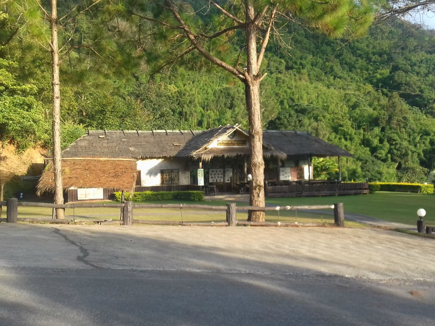
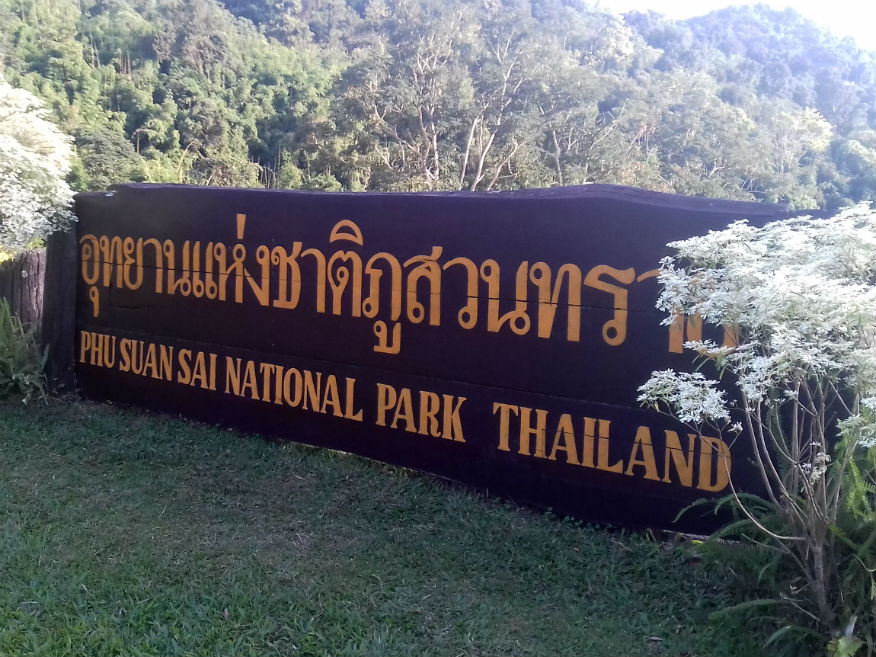
 Phu Suan Si National Park, Na Haeo District, Loei Province
Wat Si Pho Chai........Google Map Heading back to Na Haeo, a wonderful photo opportunity presents itself at Ban Saeng Pha. Google Map Not only is there a viewpoint looking across the valley but another temple with unusual features and architecture. The Lan Xang viharn, now in some state of decay has supports of teak wood while at some later date it had a replacement roof to protect it. The entrance to this temple faces the more normal direction east. A beautiful carved wooded mondrop adds to the scene. 
 Ban Saeng Pha Viewpoint (top row), Wat Si Pho Chai (bottom row), Na Haeo District, Loei Province
In the Dark........It’s now 5.30pm and we now have to hope there is accommodation in Na Haeo. When we find a guesthouse it’s closed and besides there’s no convenience shops or much else in Na Haeo, not much bigger than a village. Another big decision looms and that results in us pressing on to Dan Sai, a town of some size where there’s bound to be accommodation but it’s still 32 kilometres away and it’s already getting dark. In ordinary conditions 32 kilometres is an easy trip but this district highway is not in the best condition and there is a mountain pass to negotiate. Progress is really slow, with farm vehicles returning back with no lights, taking some 45 minutes and we still have to find accommodation. Reaching Dan Sai nothing obvious presents itself and we have to pass through the town before we find something, but draw a blank at the first attempt but at least we’re given directions to something more suitable further out of town. Even this doesn’t tick all the boxes but at 7pm I’m nearly done for today. We close the trip by heading back into town for a meal and provisions. Post mortem........Arriving for a stopover like this is stressful for me. I don’t know why Katoon keeps adding sites without discussion or at least considering the consequences. So far this tour has gone well but even if I don’t set the agenda I would like more control over the timetable. In the event today it’s 11.30pm before I can close my PC. I certainly don’t have that relaxed feel I had yesterday! However on a day of 'what ifs' we've covered some ground today and I have to be pleased what's been achieved. Next Page
| |