Yom River
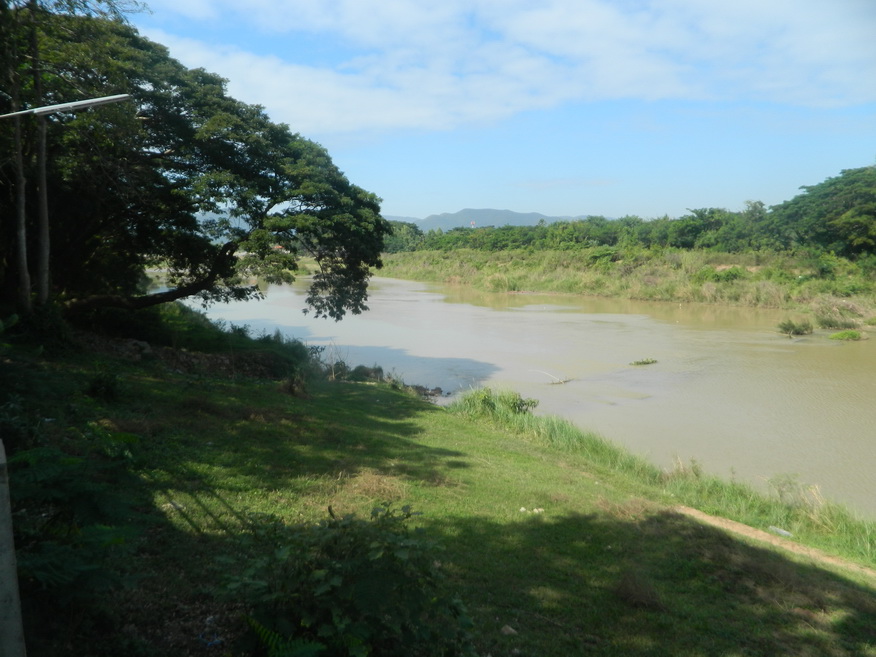
Name: Yom River
Location: Yom Basin
Length: 787km
Basin: 24,047 km2
Photo dated: 2nd December 2014
Location: Yom Basin
Length: 787km
Basin: 24,047 km2
Photo dated: 2nd December 2014
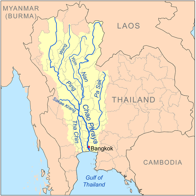
The Yom River, 787km in length, is the main tributary of the Nan River (which itself is a tributary of the Chao Phraya River). The Yom River has its source in the Phi Pan Nam Range in Pong district, Phayao Province, Thailand. Leaving Phayao, it flows through Phrae and Sukhothai as the main water resource of both provinces before it joins the Nan River at Chum Saeng district, Nakhon Sawan Province. Its tributaries include Pong, Ngao, Ngim, Sin, Suat, Pi, Mok, Phuak, Ramphan, Lai, Khuan and Kam Mi Rivers. The Yom River flows through the protected area of Mae Yom National Park in Phrae Province.
The Yom river and its tributaries drain a total area of 24,047 square kilometres (9,285 sq mi) of land (called the Yom Basin) in the provinces of Sukhothai, Phitsanulok, Phichit, Phrae and Lampang. The Yom Basin is part of the Greater Nan Basin and the Chao Phraya Watershed.
A controversial large dam was planned on the Yom River in the central area of the Phi Pan Nam mountains in Kaeng Suea Ten in 1991 but the project was later abandoned. The debate about the dam was opened again in 2011. Currently a proposal is being debated to build two smaller dams on the Yom River in the area instead of the Kaeng Suea Ten mega-dam.