Natural Thailand Tour - 17 November to 3 December 2014
Phu Hin Rong Kla National Park
|
Name: Phu Hin Rong Kla National Park
Location: Eastern Phitsanulok Province, Loei and Phetchabun
Status: National Park
Area: 307 km2
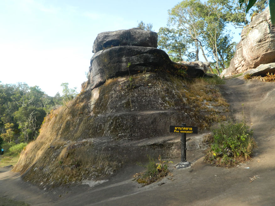
Photo dated: 23rd November 2014
Phu Hin Rong Kla National Park occupies an area of 307 square kilometres in three provinces but is part of the much larger Luang Prabang mountain range that extends northwards into Laos. Most of the park lies with Nakhon Thai district of Pitsanulok province while it extends eastwards into Dan Sai district of Loei province. It also extends into Phetchabun province in the south-eastern quarter adjacent to the Phu Thap Boek. The mountain range includes the peaks of Phu Phangma, Phu Lomlo, Phu Hin Rong Kla and Phu Man Khao, considered to be the highest peak at 1,820 metres above sea level. The park is the source of the streams, Huai Mueat Don and Huai Luang Yai. It is described as mixed deciduous, dry dipterocarp, dry evergreen, and hill evergreen forest. Animal species include; Tiger, Leopard, Asiatic Black Bear, Wild Boar, Fox and Monkeys together with some interesting bird species including Common Flameback, Asian Barred Owlet and Brown Hawk-Owl.
The park is of historic significance as well as providing an area of natural beauty. The latter was disturbed in the 1970s and 80s when the area was occupied by Communist Party supporters who turned the area into a fortress in defiance of the government. Unusually park tours take in a curious mixture of recent evidence of conflict and geological features which add considerably to the appeal of the park. There are a number of rest areas within the park which are bases for further exploration but most tours will lead to the visitor centre and the Phu Hin Rong Khla Trail which is featured separately.
|