|
|

|
Sukhothai, Sawankholok, Phrae, Chiang Rai, Mae Chan, Mae Sai, Chiang Saen, Uttaradit
For more information on locations listed below use the 'Ref.', go to 'Tours Index' and select from the list
If you are still unsure about planning a visit there is a HELP key in 'Comments' for each site.....how to use the HELP key
If you are still unsure about planning a visit there is a HELP key in 'Comments' for each site.....how to use the HELP key
|
||||||||
|---|---|---|---|---|---|---|---|---|
| Name | Ref. | Description | Era | District/Province | Location | Date visited | Price (baht) | Comments |
| Sawankhalok | 17E | Town | Dvaravati (ancient site) nearby | Sawankhalok, Sukhothai Province | Google Map | 18 Dec 2016 | n/a | quiet town in Sukhothai Province and jumping off point for Si Satchanalai Historic Park (E,3,1h) |
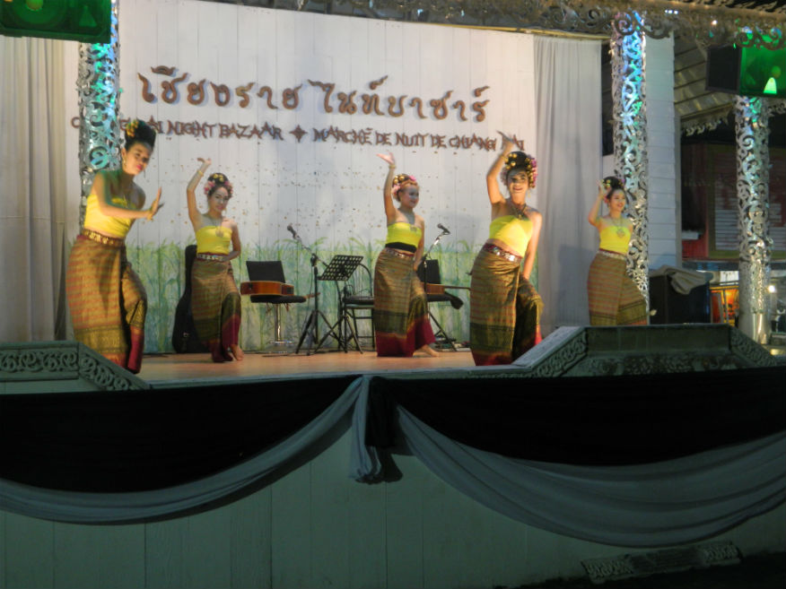
| Chiang Rai Night Bazaar | 16F | Nightlife | ----- | Chiang Rai | Google Map | 21 Dec 2016 | ----- | downtown is a pleasant and fun place for an evening stroll and an excellent option for snacks and a beer or dinner (E,4,2h) |
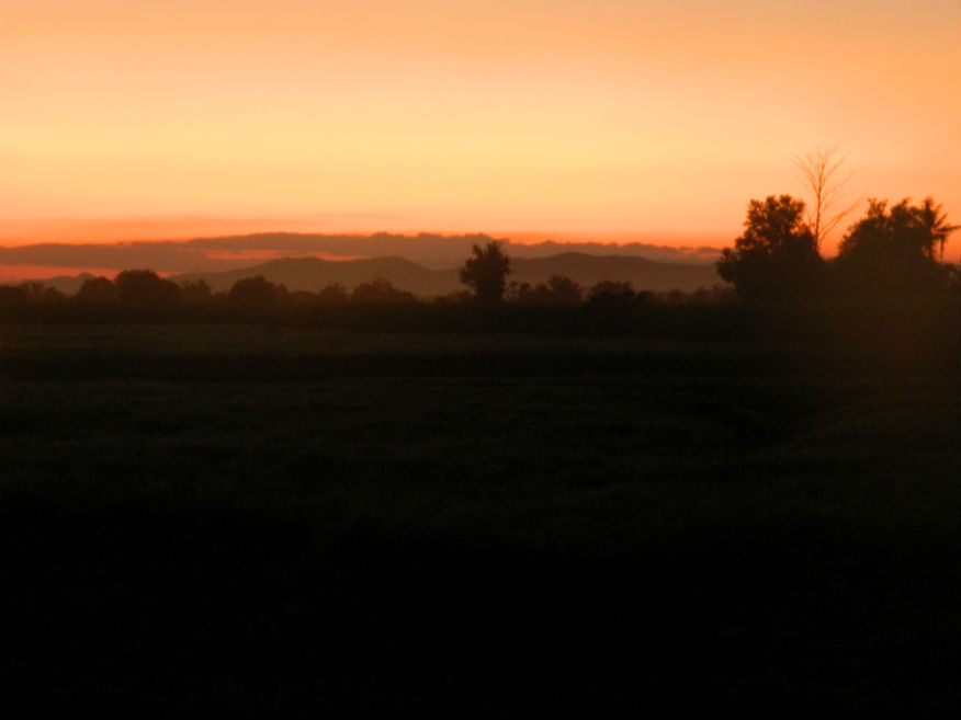
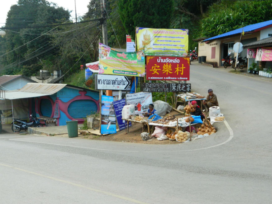
| Santikhiri (Mae Salong) | 16F | Village | ----- | Mae Fa Luang District, Chiang Rai Province | Google Map | 23 Dec 2016 | ----- | village of Santikhiri, formerly known as Mae Salong is in the Thai highlands on Doi Mae Salong mountain of the Daen Lao Range in the northernmost province of Thailand....the area has an alpine-like landscape and climate, and known for its hill tribe villages, tea plantations, and cherry blossoms (M,4,2h) |
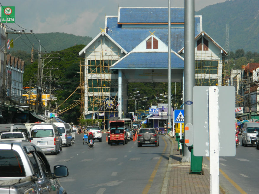
| Mae Sai | 16F | Town | ----- | Chiang Rai Province | Google Map | 24 Dec 2016 | ----- | town in the northernmost district of Chiang Rai Province in northern Thailand....it is a major border crossing between Thailand and Myanmar....Asian Highway Network AH2 crosses the Mae Sai River to the town Tachileik in Myanmar (E,3,1h) |
| Chiang Saen | 16F | Town | since 13th century | Chiang Rai Province | Google Map | 24-27 Dec 2016 | ----- | Chiang Saen is an important entrepôt for Thailand's trade with other countries on the upper part of Mekong River....historically it was a significant city state founded in the 13th century and is surrounded by ancient ruins (E,4,1+d) |
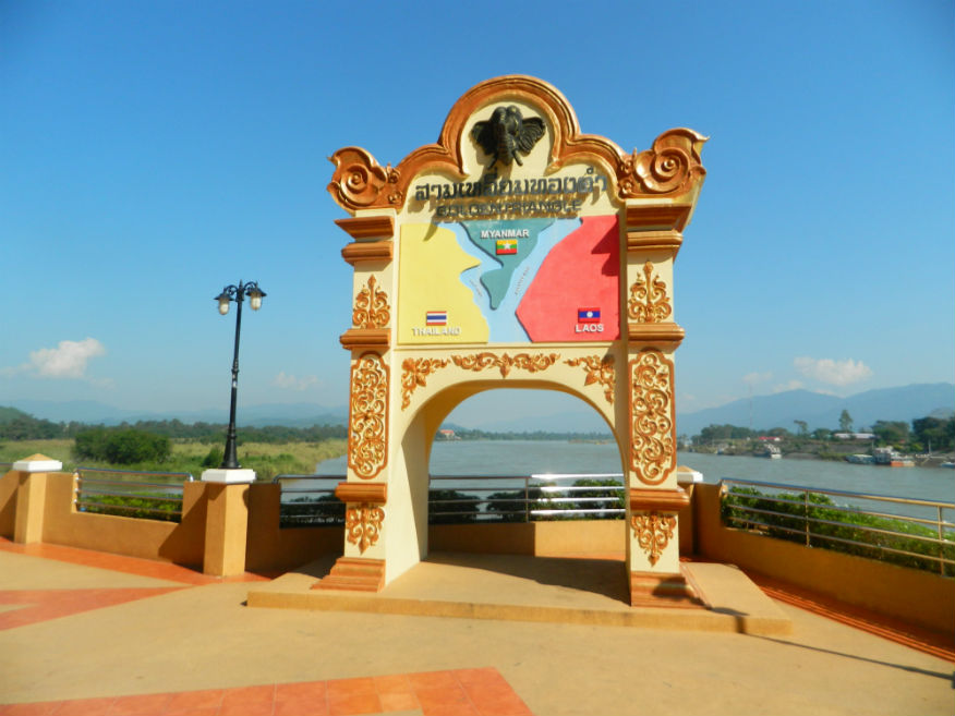
| Sob Ruak (Golden Triangle) | 16F | Park | since 13th century | Chiang Saen District, Chiang Rai Province | Google Map | 26 Dec 2016 | ----- | historically a centre for trade in opium although there is little evidence of it today....the small village is where the Ruak and Mekong rivers meet and forms the border of three countries, Thailand, Laos and Myanmar. (E,4,1h) |
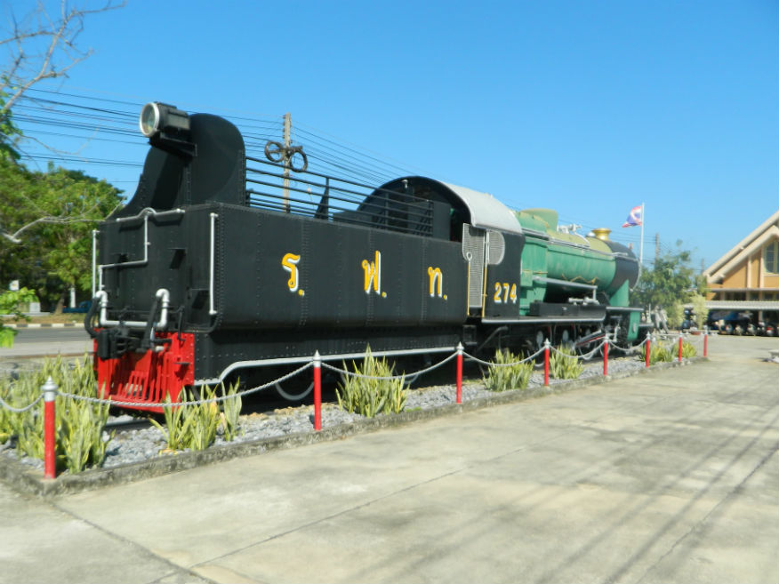
| Sila-at Railway Station | 16F | Railway junction | 1950's | Uttaradit Province | Google Map | 28 Dec 2016 | ----- | 1st class railway station on the State Railway of Thailand Northern Line connecting Bangkok to Chiang Mai....a new station had to be built due to overcrowding at Uttaradit station....since then it's become the Northern Line's major railway container yard (E,3,15+m) |