|
|

|
Sukhothai, Sawankholok, Phrae, Chiang Rai, Mae Chan, Mae Sai, Chiang Saen, Uttaradit
For more information on locations listed below use the 'Ref.', go to 'Tours Index' and select from the list
If you are still unsure about planning a visit there is a HELP key in 'Comments' for each site.....how to use the HELP key
If you are still unsure about planning a visit there is a HELP key in 'Comments' for each site.....how to use the HELP key
|
||||||||
|---|---|---|---|---|---|---|---|---|
| Name | Ref. | Description | Era | District/Province | Location | Date visited | Price (baht) | Comments |
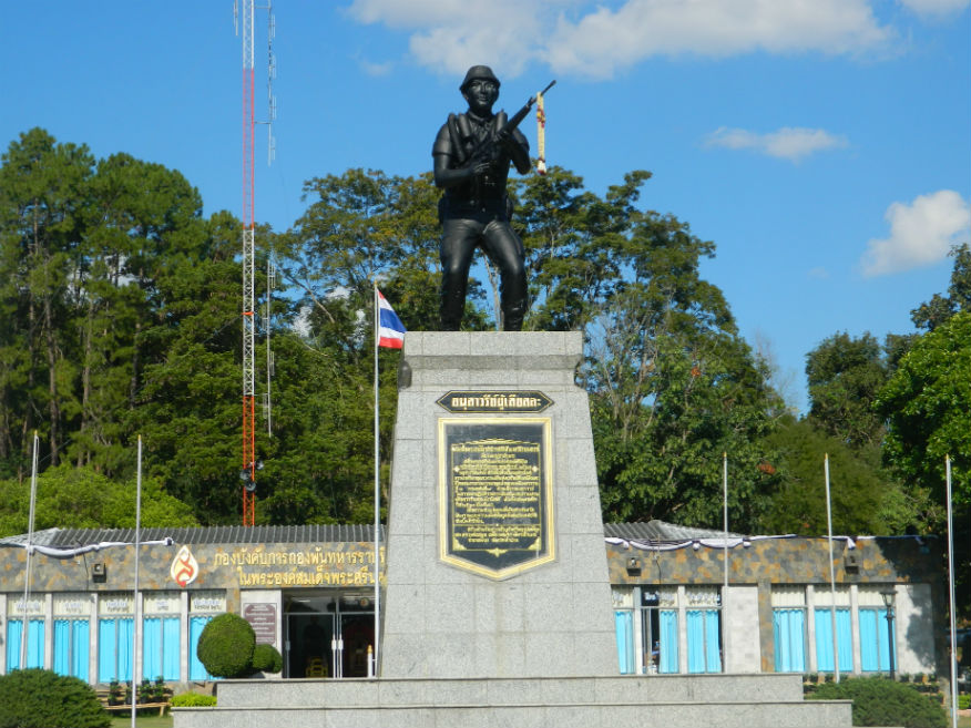
| Chiang Rai Army Memorial and King Rama IX Footprint | 16F | Memorial | 1960's | Chiang Rai | Google Map | 21 Dec 2016 | --- | museum commemorates the struggle against communism while a foofprint moulding of the late king Rama IX is enshrined nearby (M,4,30m) |
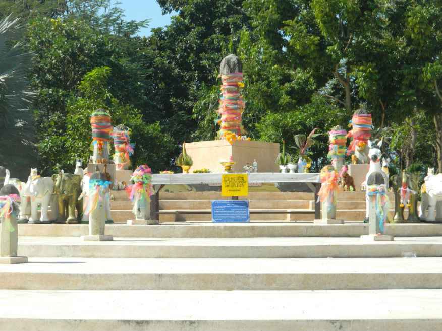
| City Naval Pillar | 16F | Memorial | 13th century | Chiang Rai | Google Map | 22 Dec 2016 | --- | location of the foundation stone of the city built by King Mang Rai in 1263 (E,4,20m) |
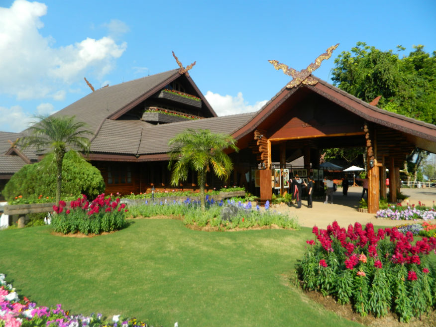
| Doi Tung Royal Villa | 16F | Royal residence | 20th century | Mae Fah Luang District, Chiang Rai Province | Google Map | 24 Dec 2016 | check | former residence of Somdej Phra Srinagarindra, the Queen Mother (mother of the late King Rama IX) (M,4,45m) |
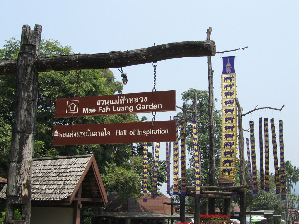
| Hall of Inspiration | 16F | Memorial | Rattanakosin | Mae Fah Luang District, Chiang Rai Province | Google Map | 24 Dec 2016 | free | dedicated to the life and works of the late King Bhumibol Adulyadej (Rama IX) (E,4,30m) |
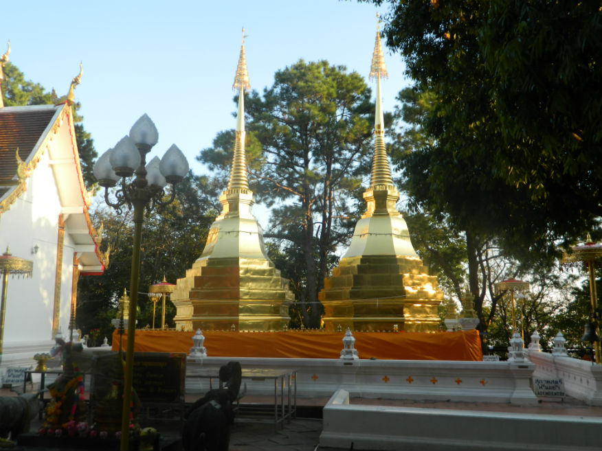
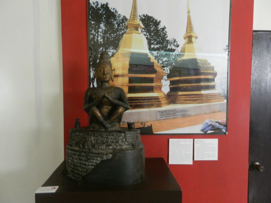
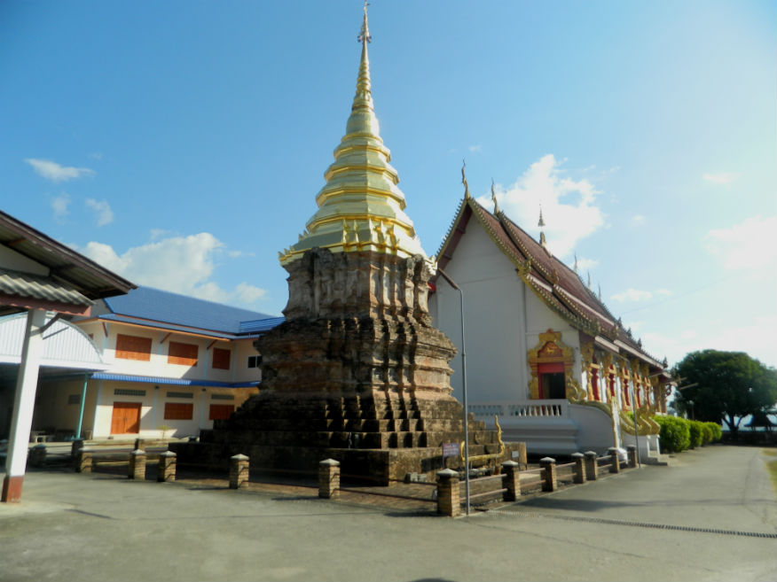
| Wat Phrathat Doi Tung | 17F | Ancient site | 10th century | Mae Fa Luang District, Chiang Rai Province | Google Map | 24 Dec 2016 | --- | built in the 10th century with two subsequent restorations in the 13th century by King Mengrai of Chiang Rai and in the 20th century by the revered monk Khru Ba Siwichai....one of the twin Lanna-style chedis is believed to contain the left collarbone of Lord Buddha (M,4,30m) |
| Chiang Saen National Museum | 16F | Museum | from pre-historic to date | Chiang Saen, Chiang Rai Province | Google Map | 25 Dec 2016 | free | important museum especially in relation to it's city status rising in the 13th century (E,4,45m) |
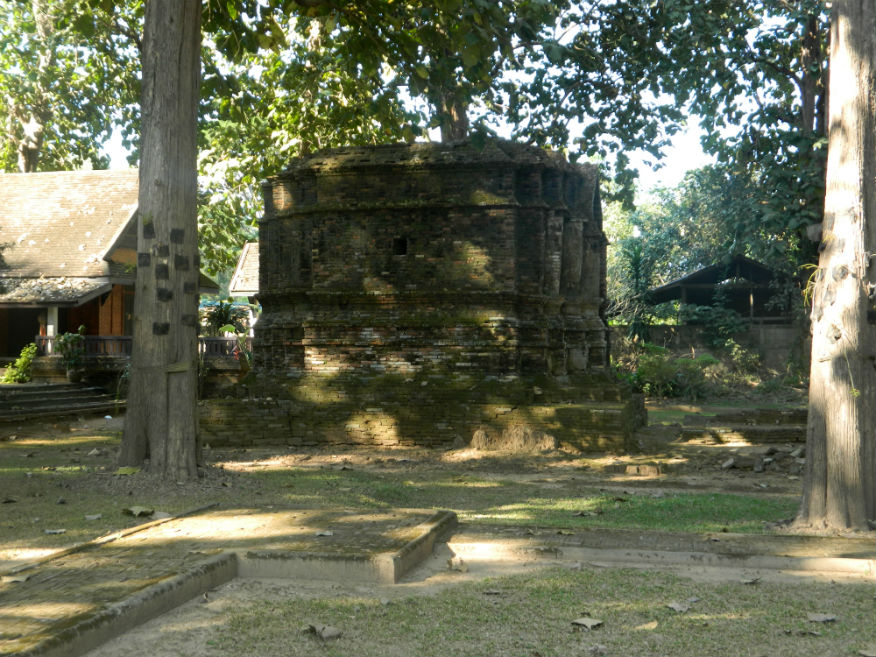
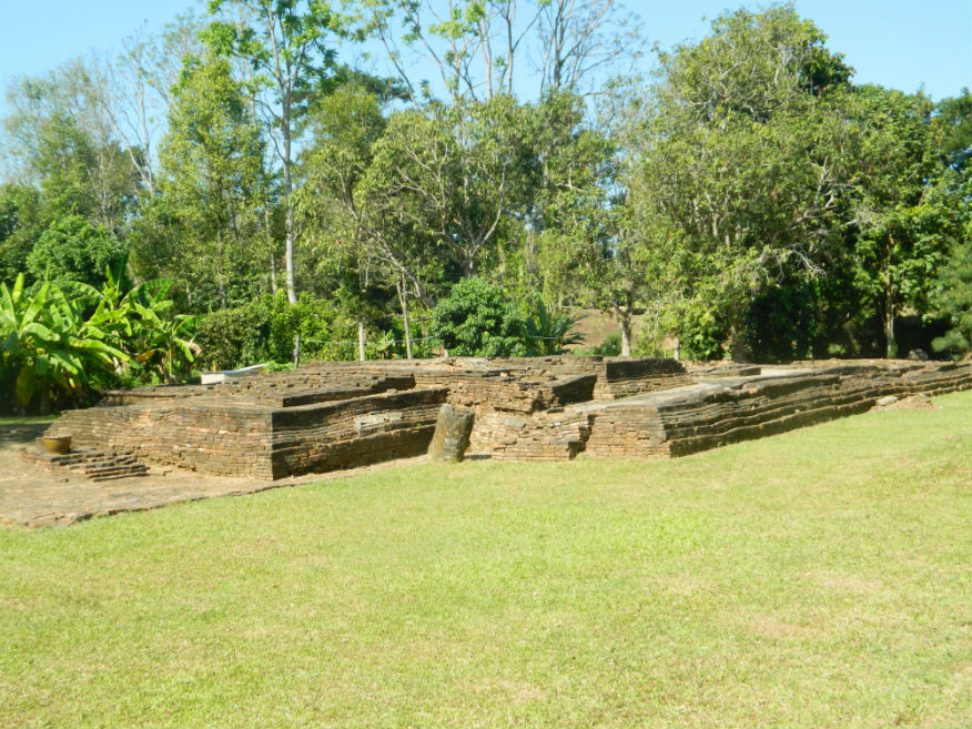
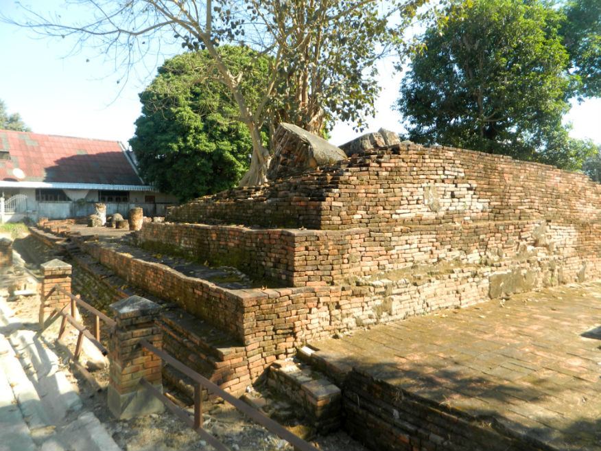
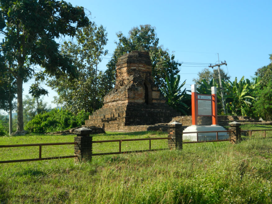
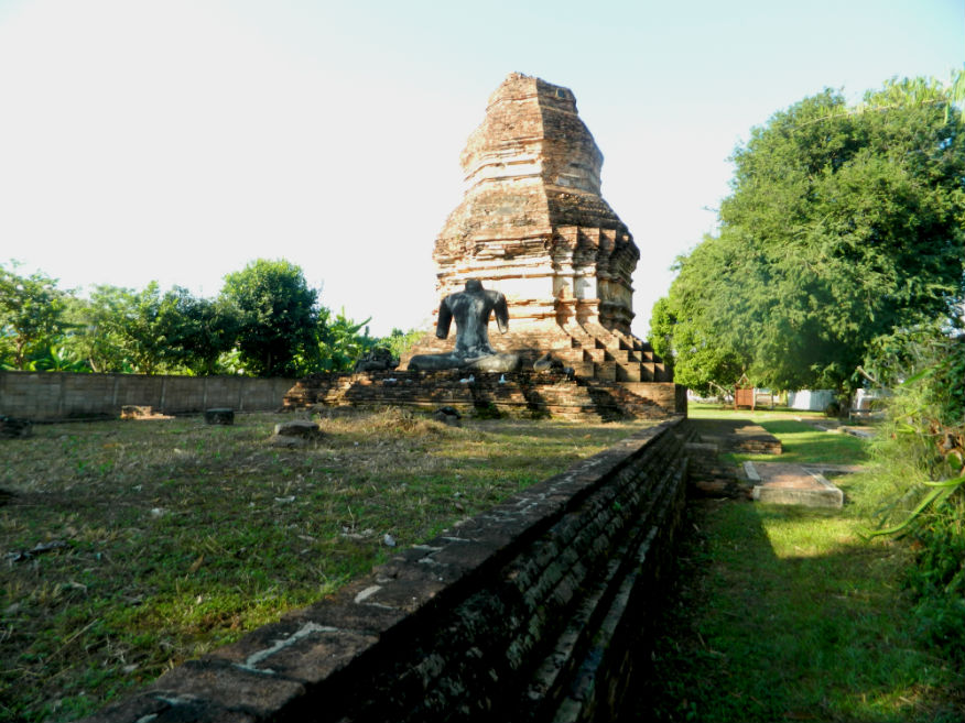
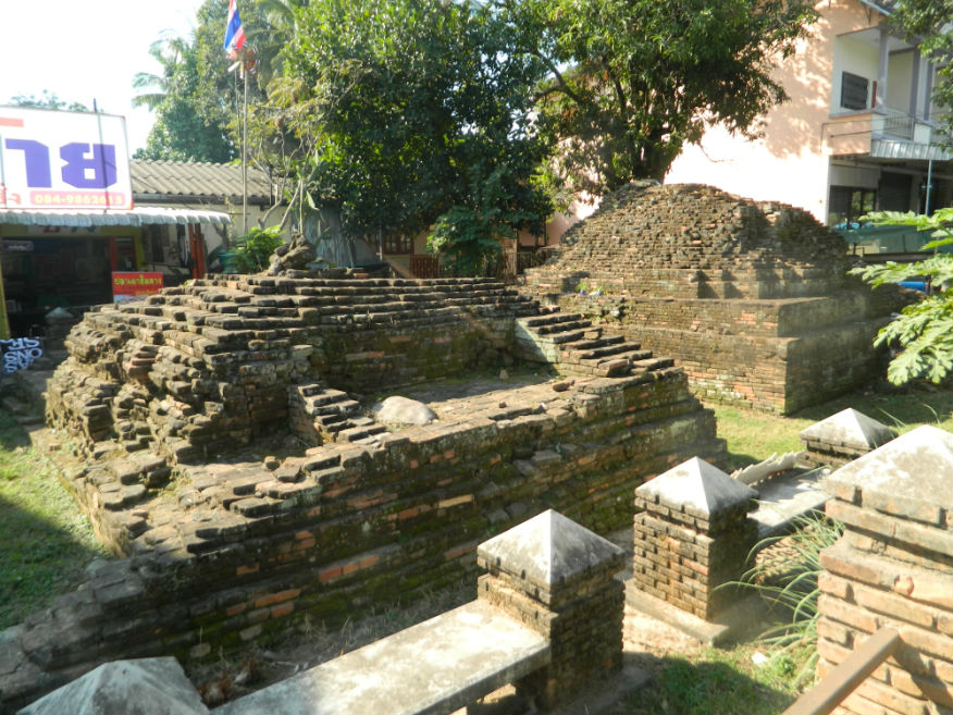
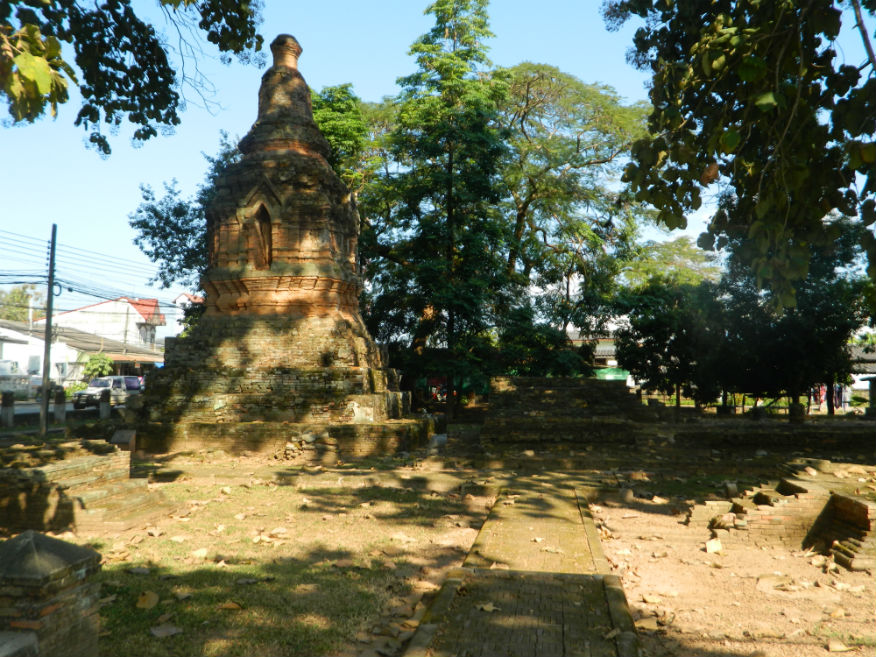
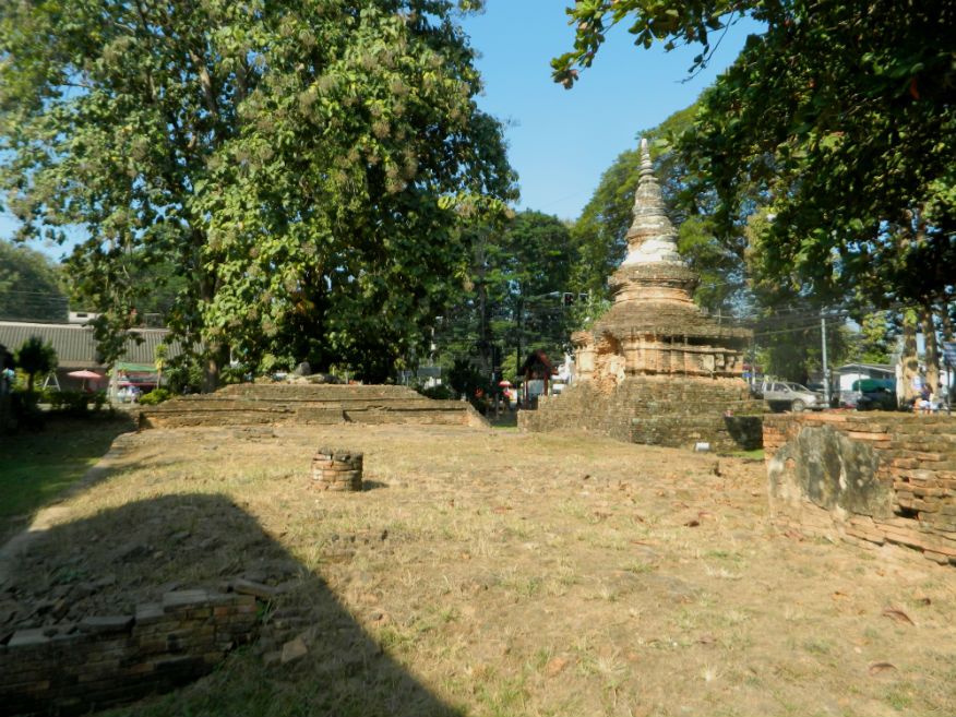
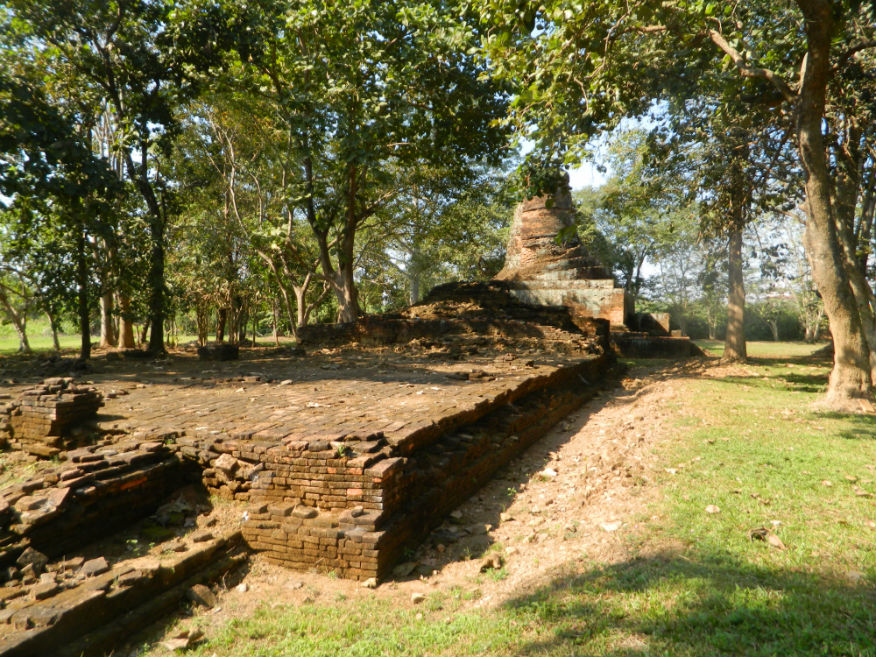
| Wat Maha That | 16F | Temple ruin | 15th/16th century | Chiang Saen, Chiang Rai Province | Google Map | 25 Dec 2016 | --- | temple ruin without provenance consisting of a mandapa (mondrop) with a pyramid roof (E,3,10m) |
| Chiangsaen (or Pasak) Gate | 16F | City gate ruin | unknown | Chiang Saen, Chiang Rai Province | Google Map | 25 Dec 2016 | --- | located to the west of the city built in double semi-circle style for strong defence...some sort of gate is likely to have existed from 13th century (E,4,10m) |
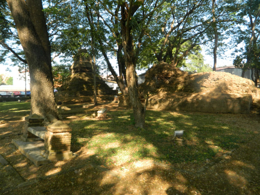
| Wat Pa Sak | 16F | Temple ruin | unknown | Chiang Saen, Chiang Rai Province | Google Map | 25 Dec 2016 | --- | a temple of some importance with a complex number of structures, the chedi has Lamphun design features while other structures show Phungam, Chinese, Khmer and Sukhothai influence (E,4,15m) |
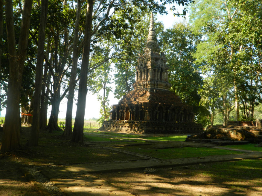
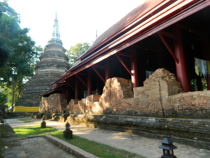
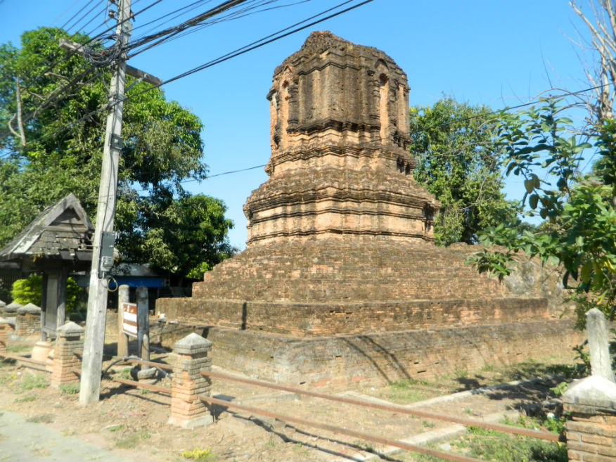
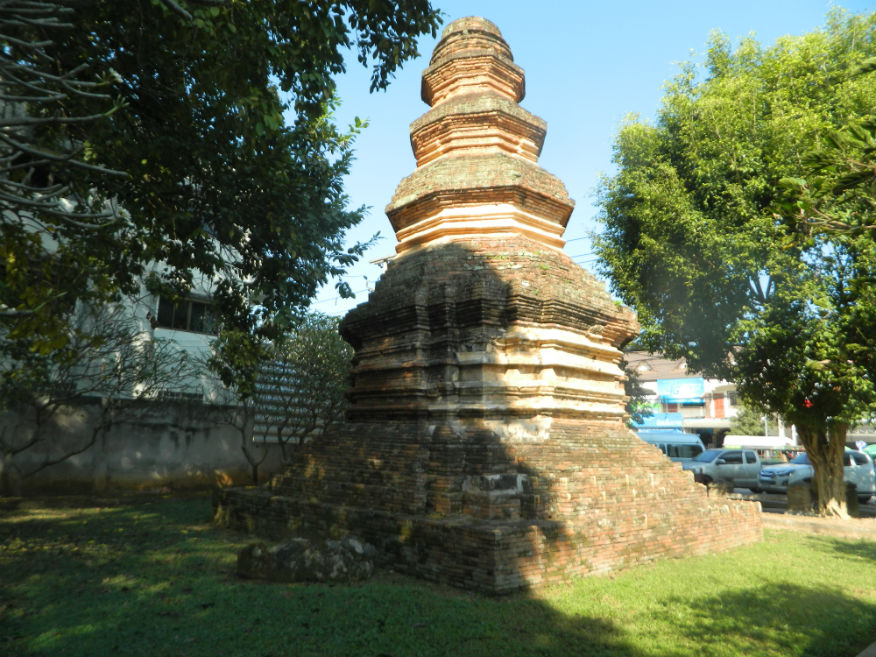
| Wat Chedi Luang | 16F | Temple ruin | 14th/15th century | Chiang Saen, Chiang Rai Province | Google Map | 25 Dec 2016 | --- | built in 1344, according to legend by Phaya Saen Phu, King of the Mang Rai Dynasty, to house Buddha relics...the chedi was damaged by an earthquake in 2014 and now the viharn is covered to protect a new seated Buddha image (E,4,15m) |
| Wat Phra That Chomkitti | 16F | Temple ruin | 14th/15th century | Chiang Saen, Chiang Rai Province | Google Map | 25 Dec 2016 | --- | according to legend the temple it was built to enshrine the Buddha’s hair...the chedi was built later in 1487 by the ruler Muen Chiang Song...the temple offers excellent views east across the Mekong River towards Laos (E,4,15m) |
| Wat Phra That Pu Khao | 16F | Temple ruin | 8th century, probably reconstructed 14th century | Sob Ruak, Chiang Saen District, Chiang Rai Province | Google Map | 26 Dec 2016 | --- | temple consists of a viharn and a mondrop (shrine of the Buddha) surrounded by 3 satellite chedis (E,3,15m) |
| Wat Sam Mum Muang | 16F | Temple ruin | unknown | Sob Ruak, Chiang Saen District, Chiang Rai Province | Google Map | 26 Dec 2016 | --- | temple has a moat but there is no provenance for its construction... in 2005/6 excavation revealed a few votive tablets...another temple with excellent views of the Mekong River (E,3,15m) |
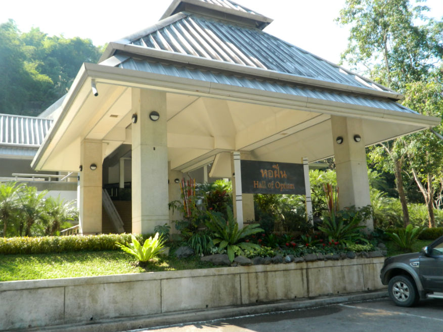
| Hall of Opium | 16F | Museum | ----- | Chiang Saen District, Chiang Rai Province | Google Map | 26 Dec 2016 | --- | known as the Doi Tung Project, it was initiated by HRH the Princess Mother in 1988 through her desire to educate people about the background to opium production and instigate alternatives to provide a sustainable income (M,not visited) |
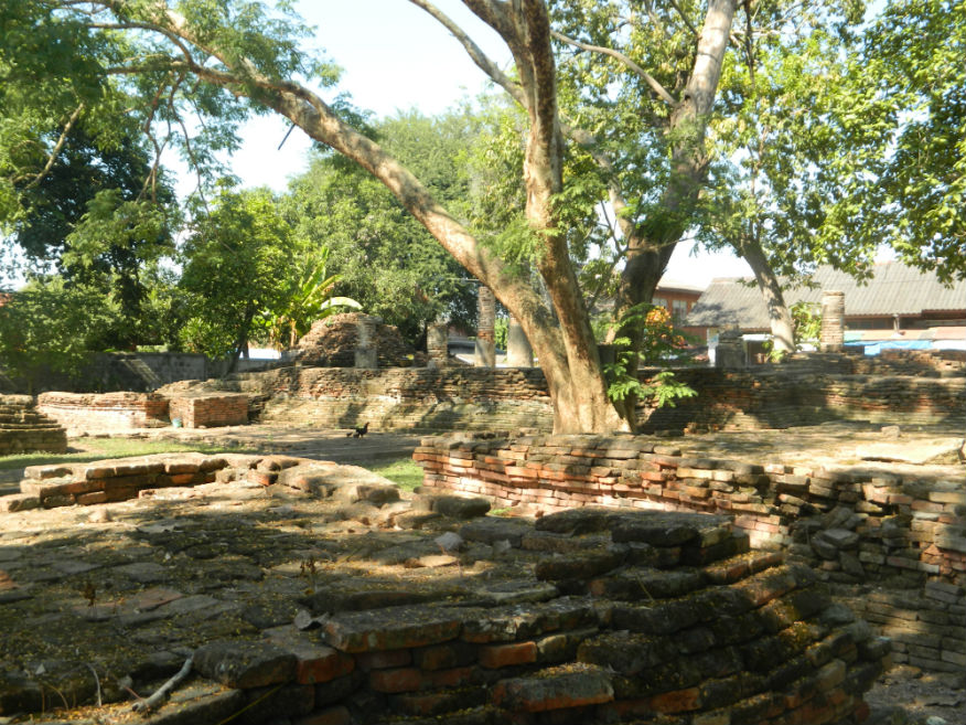
| Wat Mongkol | 16F | Temple ruin | Golden Age (16th century) | Chiang Saen, Chiang Rai Province | Google Map | 26 Dec 2016 | --- | temple was excavated between 2005/6 and found to have a viharn, chedi and mondrop with a large ubosot added later (E,3,15m) |
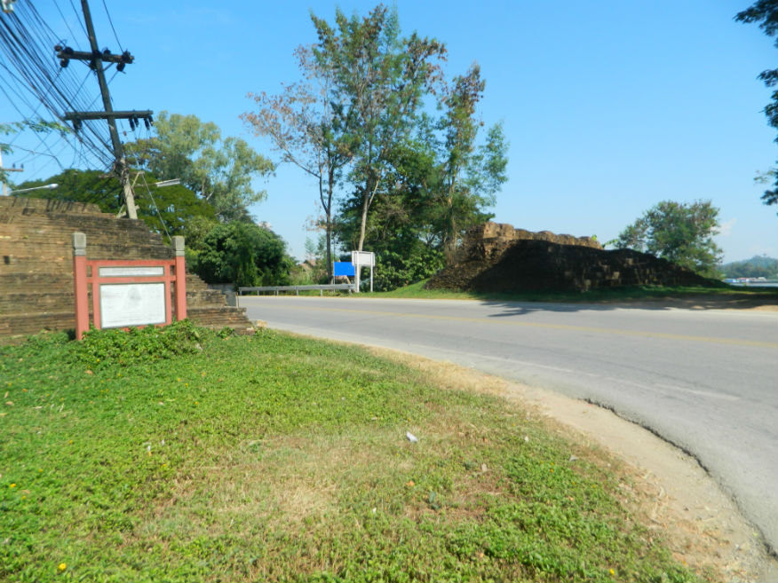
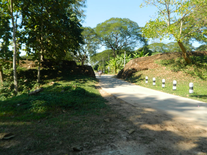
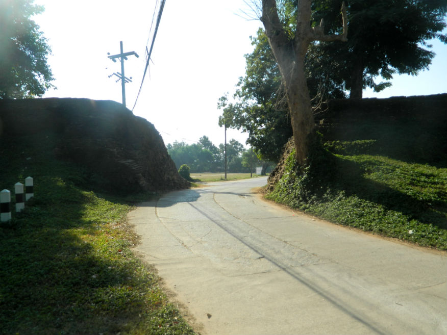
| Northern City Wall | 16F | City Wall ruin | unknown | Chiang Saen, Chiang Rai Province | Google Map | 26 Dec 2016 | --- | excavated between 2000 and 2001, the wall is 950 metres long with stepped ramparts, a seious attempt at defence....built during the second phase of construction of the city (E,4,20m) |
| Wat Sangkha Kaeo Don Tan | 16F | Temple ruin | from 7th century | Chiang Saen, Chiang Rai Province | Google Map | 26 Dec 2016 | --- | consisting of a chedi and a viharn facing east, there has been a temple here since 639 according to Yonak Chronicle 61....additions have been made through until the 16th century (E,4,20m) |
| Wat Ban Rong Wat | 16F | Temple ruin | 15th century | Chiang Saen, Chiang Rai Province | southeast city | 26 Dec 2016 | --- | consisting of four buildings, a viharn with attached room and three chedis....the temple was abandoned late 16th century when the town was captured by the Burmese (E,3,15m) |
| Wat Muen Chiang | 16F | Temple ruin | 1488 | Chiang Saen, Chiang Rai Province | south city | 26 Dec 2016 | --- | built by the ruler of Chiang Saen in 1488 for enshrining relics, the brick-style chamber of the chedi is adorned with stucco reliefs....the vihirn in front faces east (E,3,15m) |
| Din-kor Gate/Fort | 16F | Gate/Fort ruin | unknown | Chiang Saen, Chiang Rai Province | Google Map | 26 Dec 2016 | --- | build in a horse-shoe shape with a moat, it was 2.5 metres high and 57 metres long, substantial defensive workings (E,3,15m) |
| Wat Song Pee Nong | 16F | Temple ruin | pre 13th century | south of Chiang Saen, Chiang Rai Province | Google Map | 26 Dec 2016 | --- | legend has it that this was a holding camp for the King of Saen Pu while he was surveying for the site of the new city....the site has chedis, a viharn, a stupa and sala....the chedi is in Lanna style, 14th-15th Century (M,4,20m) |
| Wat That Khong | 16F | Temple ruin | pre 13th century | south of Chiang Saen, Chiang Rai Province | Google Map | 26 Dec 2016 | --- | located to the south of the city lying in an area known as Chiang Saen Noi (Wieng Preuksa) which predates Chiang Saen...the site seems to have been disturbed likely through the road construction (M,3,10m) |
| Wat That Khieo | 16F | Temple ruin | pre 13th century | south of Chiang Saen, Chiang Rai Province | Google Map | 26 Dec 2016 | --- | temple consists of a bell-shaped chedi and an east-facing viharn with minor monuments built during Burmese occupation (M,3,15m) |
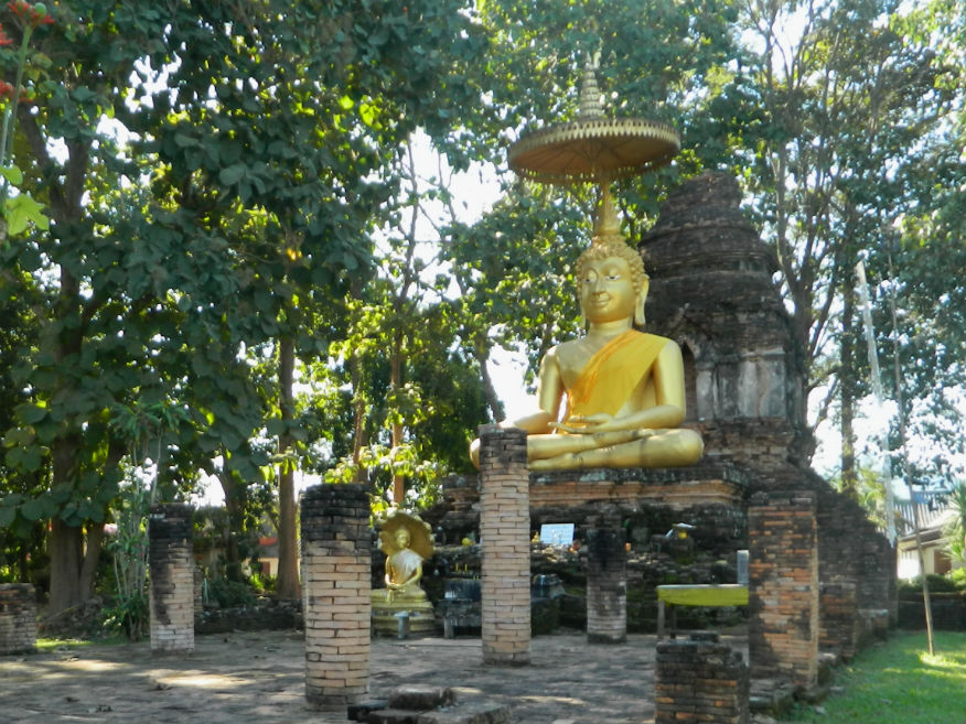
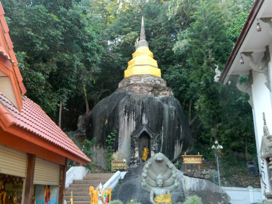
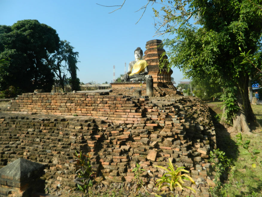
| Wat Phra That Pha Ngao | 16F | Temple ruin | pre 13th century | south of Chiang Saen, Chiang Rai Province | Google Map | 26 Dec 2016 | --- | a sacred temple with the legendry power of healing the sick....‘Pha Ngao’ is the large gigantic stone....the temple also houses a large Buddha image in Suhothai style and a a beautiful ubosot, decorated with delicately carved wood in Lanna style (E,4,30m) |
| Wat Boonyuen | 16F | Temple ruin | 1366 | Chiang Saen, Chiang Rai Province | south of the city | 27 Dec 2016 | --- | built in 1366 by Thao Mahaphrom, the ruler of Chiang Rai for keeping Buddha relics ....reconstructed in 1796 during Burmese occupation but abandoned in 1804 (E,4,20m) |
| Wat Chiang Man | 16F | Temple ruin | pre 13th century | Chiang Saen, Chiang Rai Province | Google Map | 27 Dec 2016 | --- | legend states that it was built in 640 and named Aram Chiang Man Chang Khung to house Buddha relics....rebuilt after 1327 when Phaya Saenpoo founded the city but abandoned in 1804 (E,3,10m) |
| Yang-thung Gate/Fort | 16F | City Gate ruin | unknown | Chiang Saen, Chiang Rai Province | Google Map | 27 Dec 2016 | --- | one of the northern gates....consistes of a horsehoe shaped defensive wall, long enough to enclose a small garrison....the wall is surrounded by a moat (E,3,10m) |
| Wat Arthi Ton Kaew | 16F | Temple ruin | early 16th century | Chiang Saen, Chiang Rai Province | Google Map | 27 Dec 2016 | --- | constructed in 1515 by Phra Muang Kaeo, ruler of Chiang Mai in the attempt of reconciliation at a time of conflict between different monasteries (E,3,15m) |
| Wat Roi Kho | 16F | Temple ruin | 16th century | Chiang Saen, Chiang Rai Province | Google Map | 27 Dec 2016 | --- | a temple with no recorded history....the chedi consists of a square base supporting a chamber above which is an octagonal shapped stupa....the viharn lies to the east and has solid brick walls with a pedestal supporting a limed Buddha image of Lanna and Chiang Saen art (E,3,10m) |
| Wat Phuok Phan Tong | 16F | Temple ruin | no later than 16th century | Chiang Saen, Chiang Rai Province | Google Map | 27 Dec 2016 | --- | temple has only dating evidence from the 16th century....when the Burmese invaded in 1774, legend states that the monk Khru Ba asked for peace in the city then after Lanna attacked in 1804, it is claimed that the people paraded through the temple to resettle in Chiang Mai (E,4,15m) |
| Wat Phra Khao Pan | 16F | Temple ruin | early 17th century on a much earlier religious site | Chiang Saen, Chiang Rai Province | Google Map | 27 Dec 2016 | --- | important chedi with a square chamber and bell-shaped stupa....built in the period of Phaya Luang of Chiang Saen about 1615/16 but on the site of temple claimed to be built in 761 (E,3,15m) |
| Wat Chetawan | 16F | Temple ruin | 17th century | Chiang Saen, Chiang Rai Province | Google Map | 27 Dec 2016 | --- | according to the Yonok chronicle, Wat Chetawan was constructed around 1636/37 during a period of Burmese control, built at the palace of Nang Fa Ka Pruak...it has a bell-shaped chedi behind a viharn facing east....in the viharn is a large pedistal for a Buddha image (E,3,15m) |
| Wat Phra Yeun | 16F | Temple ruin | 14th century | Chiang Saen, Chiang Rai Province | Google Map | 27 Dec 2016 | --- | legend states that Wat Phra Yeun was built by the son of Phaya Saenphoo, Phaya Khamfoo in 1331 for keeping Buddha relics. It was ordered to be rebuilt in 1638....to date only the chedi can be found (E,3,10m) |
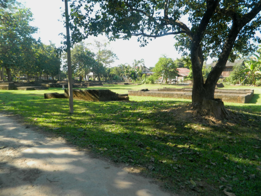
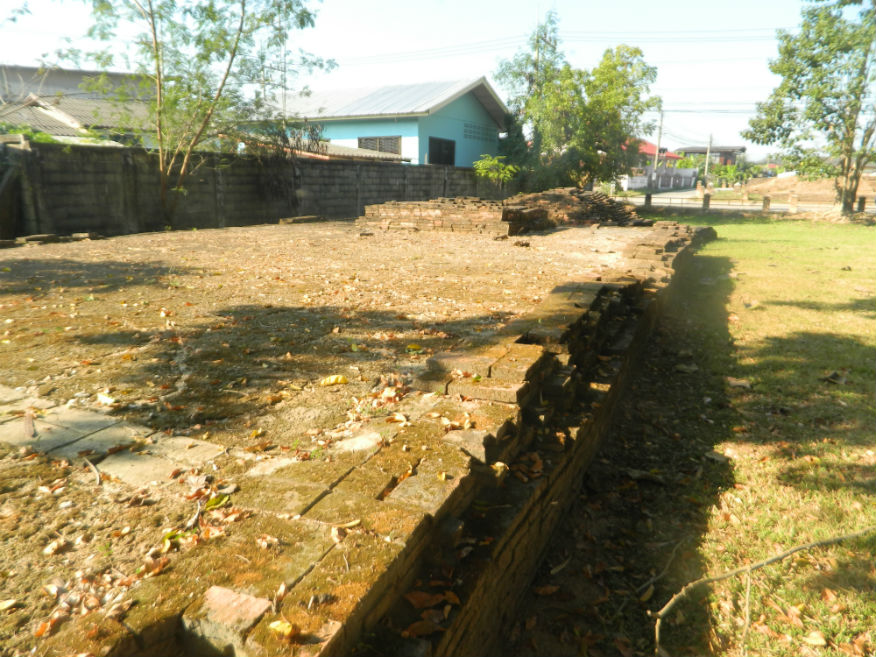
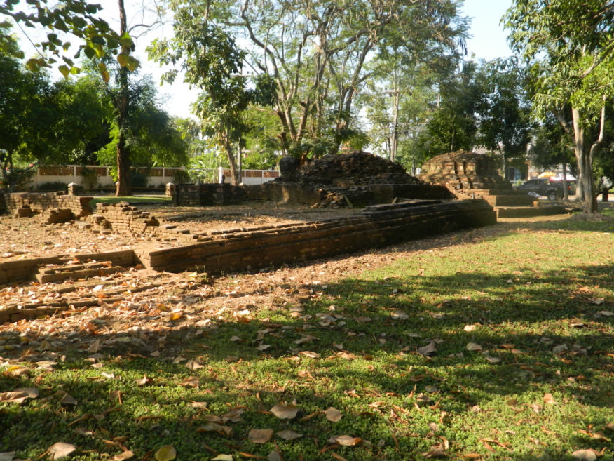
| Wat Phra Chao Thong Noi | 16F | Temple ruin | 16th century | Chiang Saen, Chiang Rai Province | Google Map | 27 Dec 2016 | --- | located at the centre of the city, built in the golden age but without provenance....all that exists are the bases of the viharn and chedi (E,3,10m) |
| Wat Prachao Lanthong | 16F | Temple ruin | unknown | Chiang Saen, Chiang Rai Province | Google Map | 27 Dec 2016 | --- | located in the middle of the city, the temple contains ancient monuments including the bell shaped chedi and two Buddha images from ancient times, mentioned in the Yonok chronicle named Prachao Lanthong and Prachao Thongthip (E,3,15m) |
| Wat Mung Muang | 16F | Temple ruin | 14th century | Chiang Saen, Chiang Rai Province | Google Map | 27 Dec 2016 | --- | one of the older temples, the chedi has a vertically square chamber in prasat style with niches....although similar to the one at Wat Pa Sak, it is older (E,3,10m) |
| Wat Phra Baut | 16F | Temple ruin | 14th century | Chiang Saen, Chiang Rai Province | west city | 27 Dec 2016 | --- | near the National Museum opposite Wat Mung Muang, built in 1344 in the reign of Phaya Gue Na....chedi is bell-shaped hiding a prasat inside with the earlier style square chamber with niches....due to its condition, the Fine Arts Department broke open the outer shell revealing a magnificent stucco lined Buddha image inside (E,4,10m) |
| Wat Ku Tao | 16F | Temple ruin | late 16th century | Chiang Saen, Chiang Rai Province | west of the city | 27 Dec 2016 | --- | located ouside the city to the west, temple has a chedi with vertical rounded chamber on a square base with viharn in front with a pedistal for the Buddha image (E,3,10m) |